Transforming raw aerial data into high-value engineering deliverables. DronexAviation operates India's most advanced commercial UAV fleet, offering sub-centimeter accuracy, AI defect analytics, and rapid 24-48 hour delivery cycles.
Select a service below to explore in-depth technical specifications, sensor payloads, methodology, and sample deliverables.

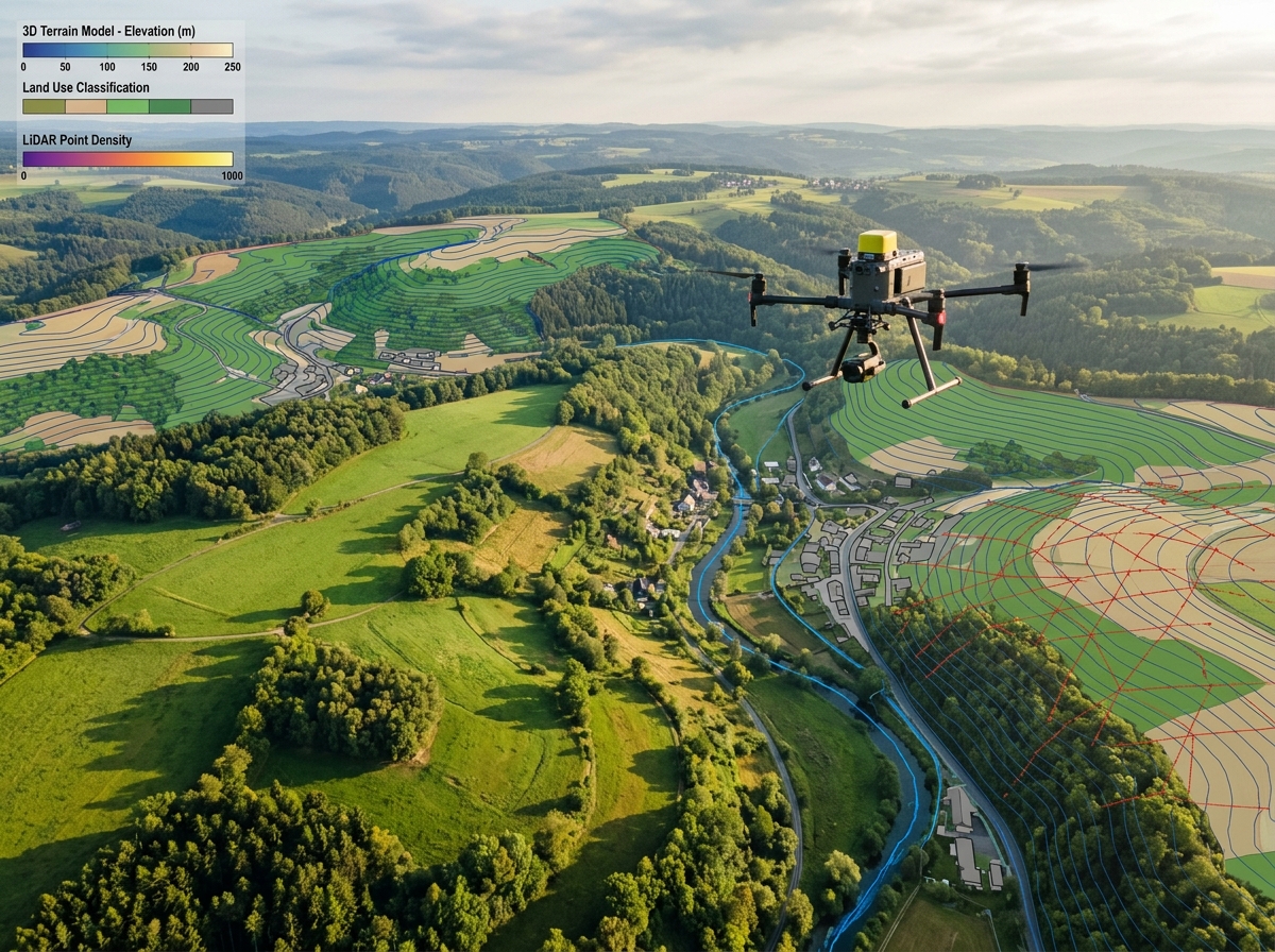
Survey-grade land and topographic surveys with sub-2cm accuracy using RTK/PPK GNSS drones. Produce precise contour maps, cut/fill earthwork calculations, and digital terrain models 10x faster than ground teams.
View Service Details β
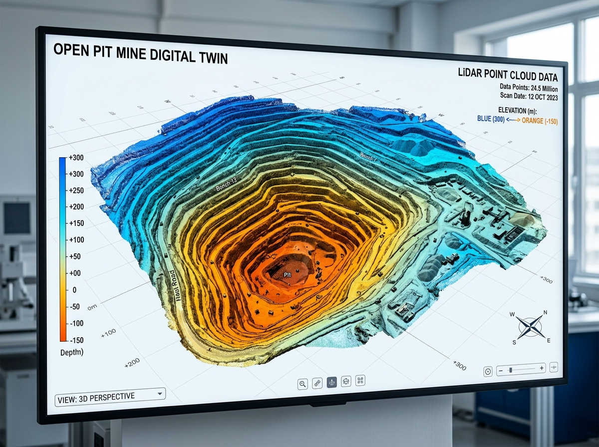
Generate millimeter-accurate 3D digital twins, textured reality meshes, digital surface models (DSM), and True Orthomosaics directly compatible with AutoCAD Civil 3D, ArcGIS, and BIM platforms.
View Service Details β
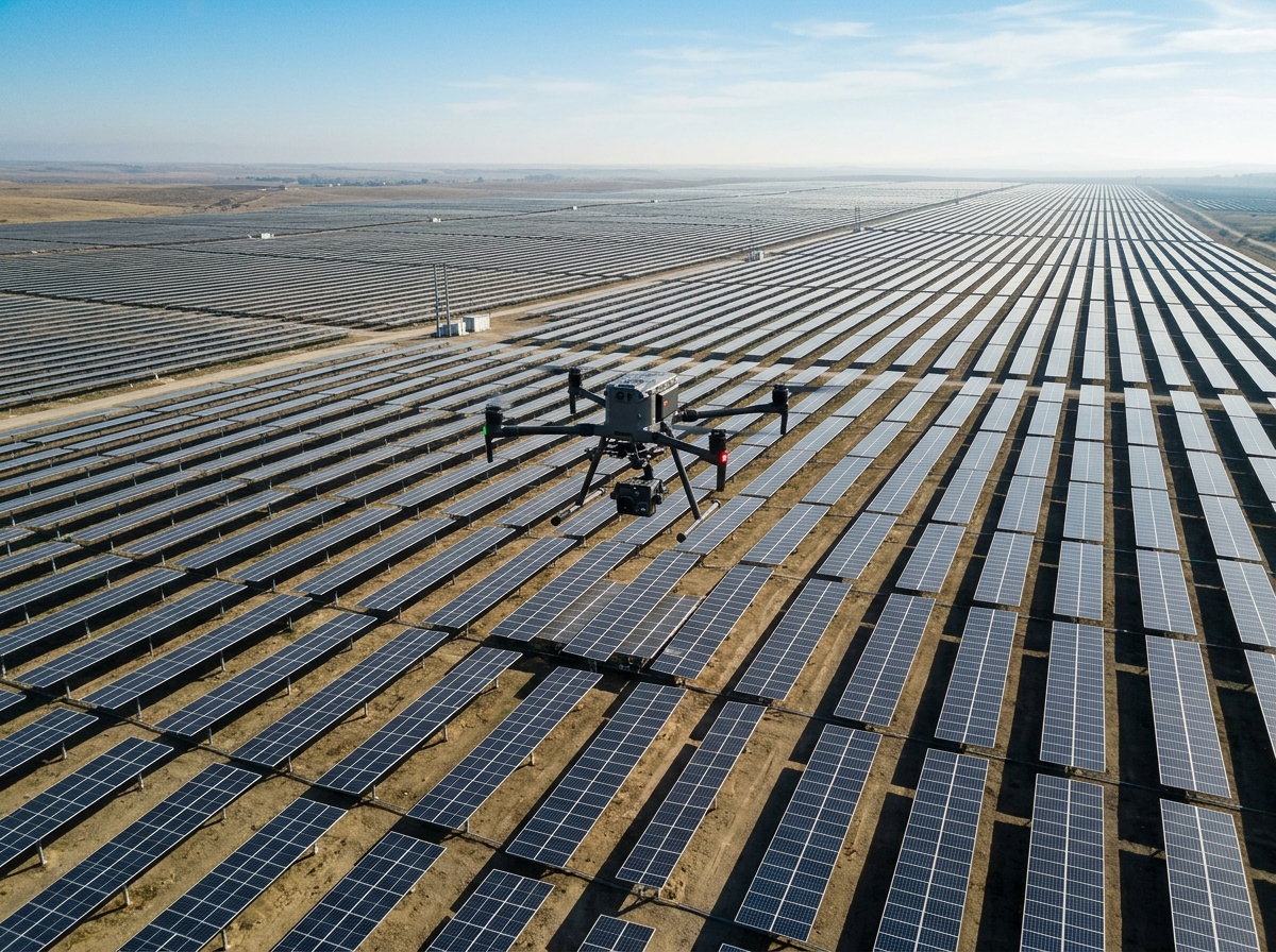
High-sensitivity FLIR radiometric thermal drone inspections for solar farms, high-voltage transmission lines, substations, and industrial roofs. Pinpoint hotspots, electrical resistance, and building heat loss.
View Service Details β
Capture up to 1.2 million points per second with survey-grade multi-return airborne LiDAR. Penetrate thick forest canopies and tall vegetation to reveal pristine bare-earth ground models.
View Service Details β
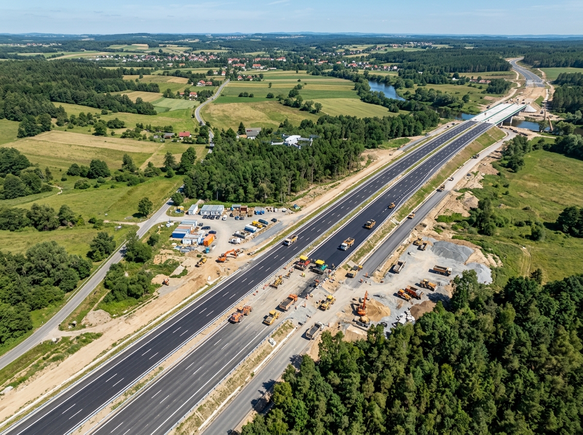
Close-proximity structural audits of bridges, dams, transmission towers, wind turbines, and flare stacks. AI computer vision detects hairline cracks down to 0.1 mm without scaffolding or traffic closures.
View Service Details β
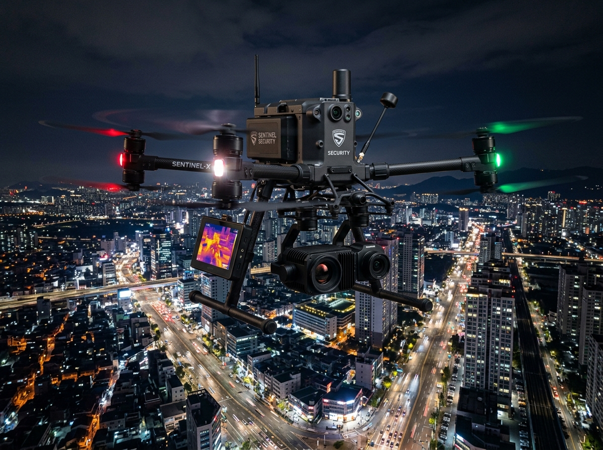
24/7 automated perimeter patrols, tactical night-vision ISR, crowd monitoring, and critical asset defense. Real-time encrypted C4I video streaming with sub-3 minute intruder alarm response.
View Service Details βTraditional ground surveys and manual inspections are slow, hazardous, and produce sparse data samples. DronexAviation deploys survey-grade multirotors, hybrid VTOLs, and long-range fixed-wing platforms engineered to operate in the most demanding industrial environments.
Equipped with dual RTK/PPK GNSS, radiometric FLIR thermal cores, high-density Livox LiDAR, and 200x hybrid zoom optical sensors, our DGCA-certified flight crews deliver turnkey spatial intelligence with rigorous QA/QC verification.
Consult with our senior flight operations managers and geospatial data engineers to configure the optimal drone service package for your site.