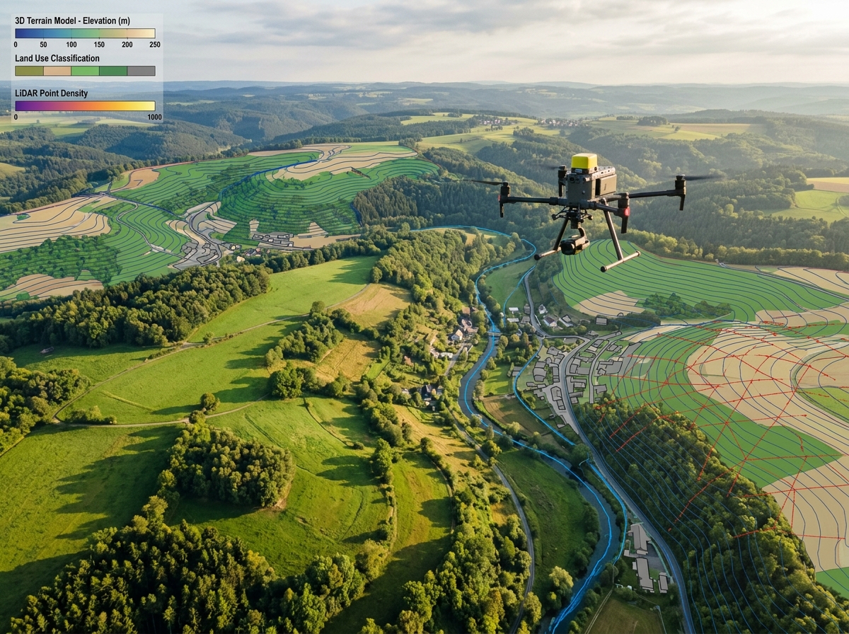
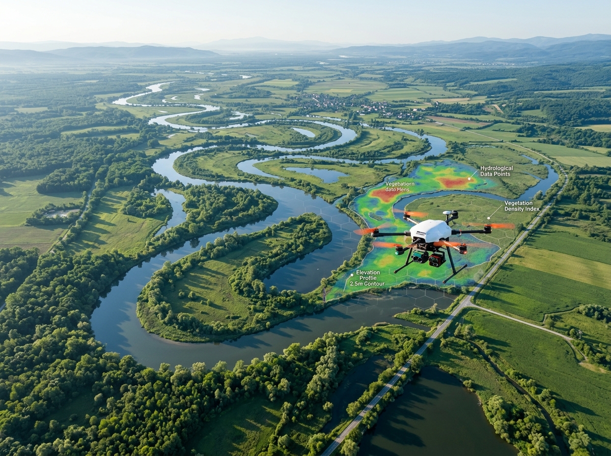
Drone surveying road construction highway corridor
Transportation & Highways

Drone Survey Solutions for Roads & Expressways

Accelerate project delivery, eliminate road closure hazards, and fulfill statutory NHAI/MoRTH monthly video recording mandates. High-precision alignment surveys, earthwork quantification, and AI pavement distress detection.

0Traffic Closures Required
40+ kmDaily Corridor Mapping
NHAICircular Compliant
± 1.5%Cut/Fill Volume Precision
NHAI Monthly Drone Video Mandate✦Pavement Distress AI Mapping✦DPR Alignment Topography✦Cut & Fill Earthwork Audits✦Cross-Section & L-Section Generation✦Right-of-Way Encroachment Monitoring✦NHAI Monthly Drone Video Mandate✦Pavement Distress AI Mapping✦DPR Alignment Topography✦Cut & Fill Earthwork Audits✦Cross-Section & L-Section Generation✦Right-of-Way Encroachment Monitoring✦

Next-Generation Aerial Intelligence for Highway Development

Road and expressway construction across India faces tight deadlines, complex terrain, and strict regulatory monitoring. Conventional land survey methods for Detailed Project Reports (DPR) are notoriously time-consuming, prone to traffic risks, and often unable to capture complete terrain variations along winding corridor alignments.

The National Highways Authority of India (NHAI) now mandates monthly drone video recordings and surveys for all national highway projects under execution to ensure transparency, track physical milestones, and verify contractor billing claims.

DronexAviation provides turnkey highway drone solutions. Using long-endurance hybrid VTOL drones equipped with RTK and LiDAR, our survey crews map 30 to 50 linear kilometers of corridor per day without blocking traffic lanes. Deliverables include accurate longitudinal sections (L-sections), cross-sections, cut-and-fill volumetric heat maps, and AI-powered pavement distress classification.
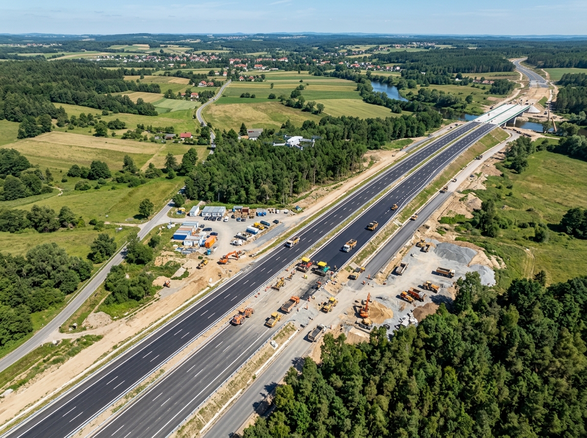
Aerial drone inspecting road construction works
🛣
NHAI Data StandardMonthly Progress & 3D BIM Ready

End-to-End Drone Solutions Across the Road Lifecycle

From initial feasibility studies to active construction and routine concessionaire maintenance.

Detailed project report pre-construction survey
📐

DPR Alignment Topographic Surveys

Map proposed highway corridors with centimetre accuracy. Extract digital elevation models, generate longitudinal profiles and cross-sections at 10m/20m chainage intervals for Civil 3D geometric design.

Cut and fill earthwork calculation for highway
⚒

Cut & Fill Earthwork Reconciliation

Independently calculate excavation cut and embankment fill volumes between project milestones. Compare actual as-built ground levels against design CAD surfaces to prevent contractor over-billing.

NHAI monthly progress video recording
🎬

Mandatory NHAI Monthly Video Audits

Produce standardized 4K geo-referenced video recordings and orthomosaic maps compliant with NHAI Project Monitoring Information System (PMIS) and Data Lake integration.

Pavement distress and crack detection
🔍

Pavement Distress AI Classification

High-resolution nadir imagery processed through machine-learning algorithms automatically detects potholes, longitudinal cracks, alligator cracking, rutting, and ravelling for Pavement Condition Index (PCI) scoring.

Right of way encroachment tracking
🚫

Right-of-Way (RoW) Encroachment Tracking

Document illegal roadside constructions, commercial kiosks, unauthorized median cuts, and boundary wall infringements across the concession zone with indisputable timestamped aerial proof.

Culvert and drainage slope modeling
🌊

Culvert, Bridge & Drainage Modeling

Perform hydrological catchment analysis along highway alignments to size culverts, detect waterlogging vulnerability, and monitor river training works adjacent to major bridge crossings.

Corridor Mapping Execution Framework

Engineered specifically for linear transportation assets spanning tens of kilometers.

01

Chainage & DGPS Control Setup

We establish permanent geodetic benchmark pairs every 3 to 5 km along the highway alignment tied to Survey of India datum using dual-frequency DGPS.

02

Linear Corridor Flight

Long-range VTOL UAVs follow terrain elevation profiles automatically, capturing seamless multi-strip aerial imagery and LiDAR returns along the RoW width (30m to 100m).

03

L-Section & Cross-Section Processing

Point cloud and elevation data is processed into continuous civil models, automatically extracting transverse cross-sections every 10m to 25m chainage.

04

Civil 3D & NHAI Portal Delivery

Data packages are uploaded in Civil 3D formats, interactive cloud viewers, and formatted video archives conforming to NHAI PMIS submission specs.

Why Concessionaires & EPCs Choose DronexAviation

🚦

Zero Traffic Hazards

Surveys are conducted entirely from the air. Surveyors never have to stand in active highway lanes, preventing surveyor accidents.

Zero Traffic Interruption
💰

Billing Dispute Elimination

Transparent cut/fill earthwork calculations with 3D color-coded variance maps resolve billing disagreements between EPCs and developers instantly.

100% Audit Proof
⚡

Rapid DPR Generation

Complete pre-construction alignment surveys 5x faster, helping project developers secure financial closures ahead of schedule.

5x Faster DPR
📄

Full NHAI Regulatory Peace of Mind

All video logs, drone flights, and orthomosaics strictly follow NHAI Policy Guidelines and circulars for monthly monitoring.

NHAI Compliant
📍

Chainage-Wise Visual Navigation

Fly virtually along any kilometer marker (km 0+000 to km 120+000) inside our web portal, jumping directly to any chainage location.

Every Meter Tracked
🔧

Targeted Maintenance Budgeting

PCI distress maps highlight exact road sections needing resurfacing vs. localized patch repair, optimizing concessionaire O&M expenditure.

35% Maintenance Savings

Highway Survey Deliverables Package

Tailored to road engineers, highway concessionaires, and NHAI project directors.

📹

NHAI Monthly 4K Video Logs

Continuous geo-tagged 4K video recording covering both carriageways, median, service roads, and major/minor junctions.

📐

L-Sections & Cross-Sections (DWG / CSV)

Civil 3D cross-sections extracted at specified chainages (10m, 20m, 50m) with center line, road edges, and ditch elevations.

⚒

Cut & Fill Earthwork Volumes

Independent volume report with cut/fill isopach heat maps comparing current topography against approved finished road levels.

🔍

Pavement Distress GIS Inventory

Vector layer and photo database of all potholes, cracks, and surface failures categorized by severity.

Highway drone mapping deliverables

Frequently Asked Questions

Yes, 100%. NHAI mandates monthly drone video recordings for all National Highway projects. We produce the standardized 4K geo-referenced video logs, True Orthomosaics, and monthly physical progress milestone reports strictly formatted for direct upload into the NHAI Data Lake and PMIS portal.

Physical levelling with auto-levels or total stations only captures points every 10 to 20 meters, missing undulations and irregular stockpiles. Drones capture millions of elevation points per kilometer, creating continuous TIN surfaces that calculate cut/fill volumes with an industry-verified precision within ±1.5% of actual bulk earthwork.

Absolutely. Flying at an altitude of 40 to 60 meters, our ultra-high-resolution cameras capture sub-centimetre pavement imagery while vehicles travel at normal highway speeds below. There is zero need for lane closures, police escorts, or traffic diversions.

We provide LandXML surface models, 3D DWG/DXF drawings, CSV chainage elevation tables, classified LAS point clouds, and high-resolution GeoTIFF orthomosaics that drag-and-drop directly into Autodesk Civil 3D, Bentley OpenRoads, and MX Road.

Explore Our Other Industry Solutions

Stay Ahead of Highway Schedules with DronexAviation

Schedule your next corridor survey or establish a monthly NHAI monitoring contract with our highway survey engineers.