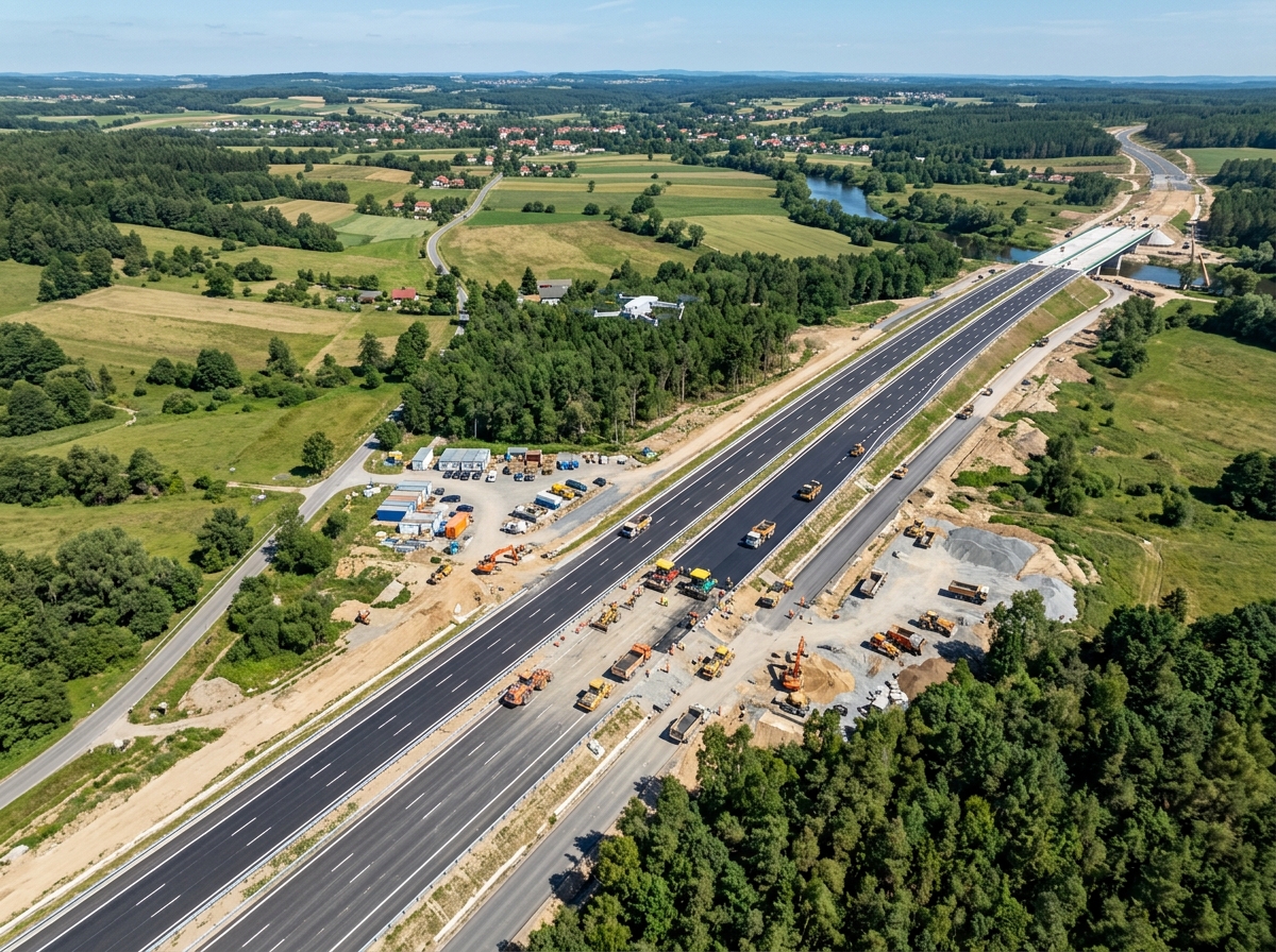
Airborne LiDAR drone scanning dense forested terrain and linear corridor
Laser Bathymetry & Multi-Return Scanning

Airborne LiDAR Drone Scanning & Modeling

Penetrate dense forest tree canopies and accurately capture ultra-fine power transmission lines with multi-return pulsed laser LiDAR sensors. Emitting up to 720,000 pulses per second to deliver certified sub-3cm 3D bare-earth elevation data.

720kPulses / Sec Rate
5xMulti-Return Echoes
< 3 cmVertical Accuracy RMSE
95%Canopy Penetration
Multi-Return Airborne LiDAR✦Sub-Canopy Bare-Earth DTMs✦Transmission Line Sag & Tension✦Vegetation Encroachment Audits✦Classified LAS Point Clouds✦High-Precision IMU/POS Georeferencing✦Multi-Return Airborne LiDAR✦Sub-Canopy Bare-Earth DTMs✦Transmission Line Sag & Tension✦Vegetation Encroachment Audits✦Classified LAS Point Clouds✦

Active Laser Ranging Beyond Visual Limits

While traditional photogrammetry relies on optical camera imagery and ambient sunlight, it fundamentally fails when terrain is concealed under dense jungle canopies, shadowed valleys, or homogeneous surfaces like fresh asphalt or water bodies. Furthermore, thin linear infrastructure like conductors and guy-wires cannot be reconstructed by optical triangulation.

DronexAviation solves these limitations with advanced UAV Airborne LiDAR (Light Detection and Ranging). As an active sensor, our LiDAR payloads emit hundreds of thousands of laser pulses every second. A single laser pulse can produce up to 5 discrete return echoesβ€”the initial returns map upper canopy leaves and branches, while the final returns slip between foliage gaps to strike the bare ground.

Coupled with tactical-grade Inertial Measurement Units (IMU) and dual-frequency GNSS positioning engines, our system computes trajectory solutions down to the millimeter, creating dense, georeferenced, and radiometrically calibrated 3D point clouds.
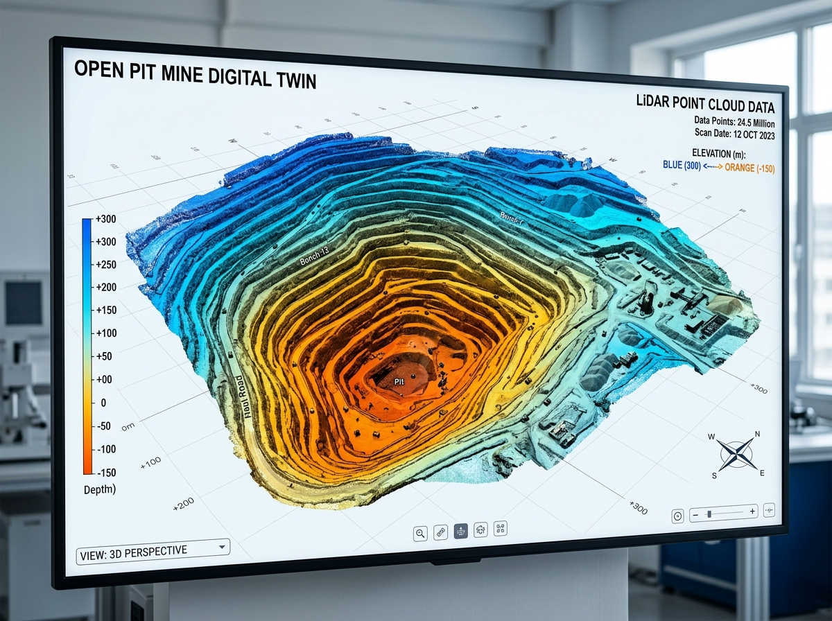
Dense LiDAR point cloud of terrain and structures
πŸ“‘
Multi-Target LiDAR5 Echoes / Pulse | High Density Point Cloud

LiDAR Applications in Complex Environments

Where optical photogrammetry meets its limits, airborne LiDAR delivers uncompromising precision.

Sub-canopy forest terrain mapping
🌲

Forested & Dense Jungle Topography

Map true ground terrain beneath thick rainforest, deciduous forests, and heavy bamboo thickets. Filter out millions of tree points to reveal the exact natural bare-earth ground surface for road and railway alignments.

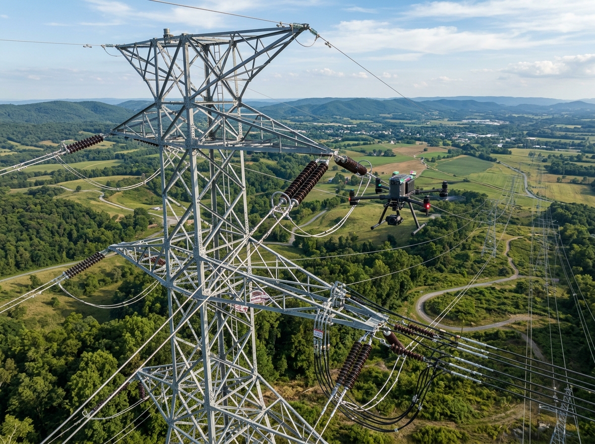
Power transmission line sag and clearance mapping
⚑

Power Transmission Line Sag & Clearances

Directly hit and map thin overhead conductor lines, earth wires, and transmission pylons. Calculate exact mid-span sag under thermal load and detect tree branches encroaching within regulatory clearance buffers.

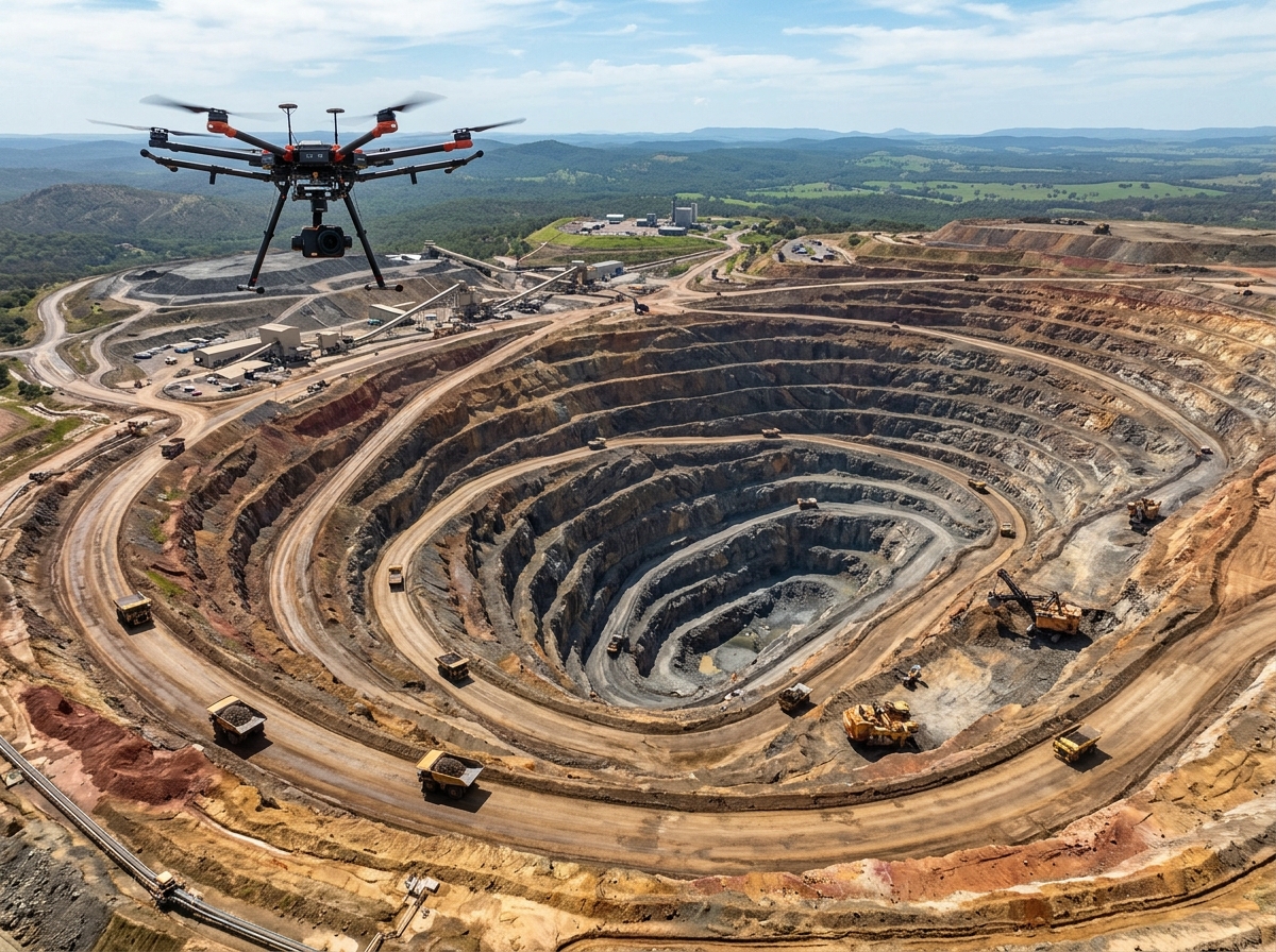
Open cast mine bench and highwall mapping
⛏️

Vertical Highwalls & Steep Quarry Cliffs

Capture sheer vertical rock faces, overhangs, and deep geological fissures that cause severe parallax distortion in optical cameras. Measure highwall stability and rockfall hazards with absolute laser accuracy.

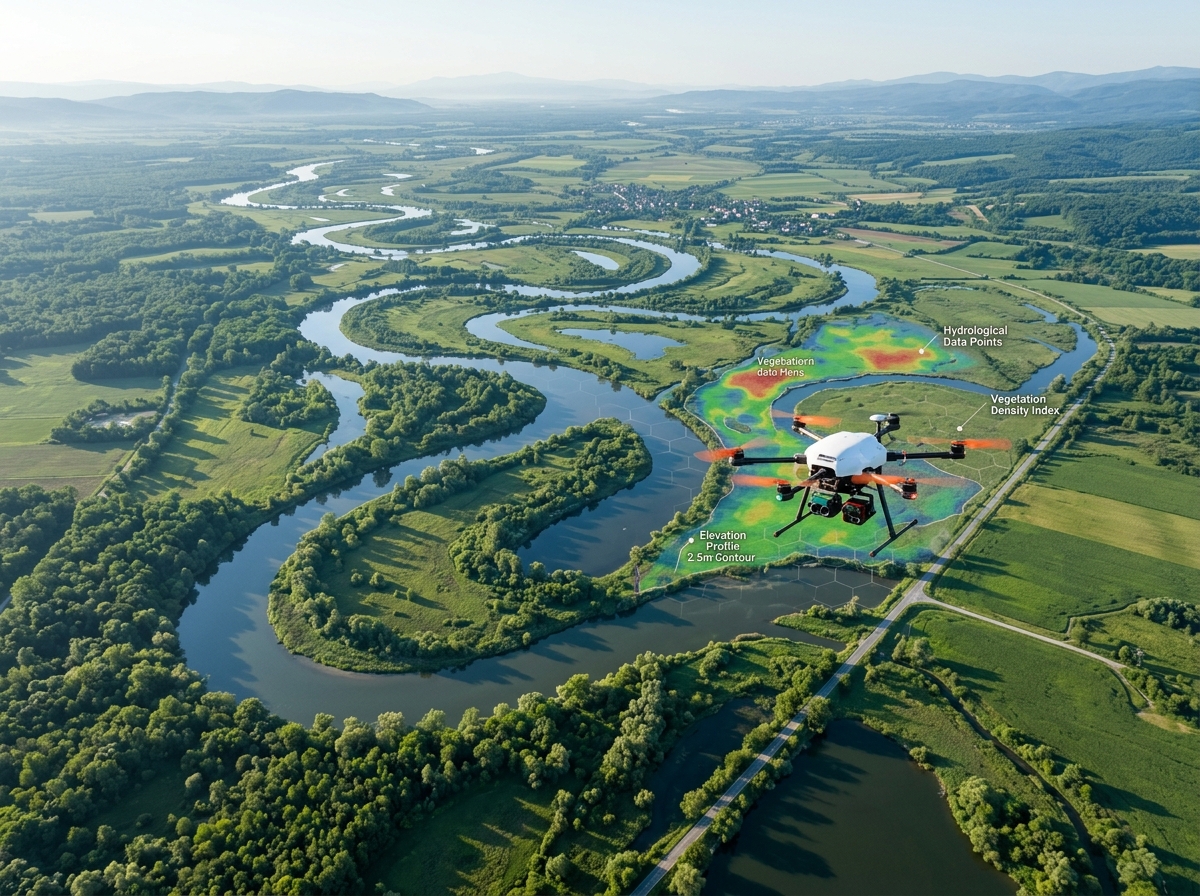
River basin and floodplain bathymetry
🌊

Riverbank Floodplain & Drainage Modeling

Survey wet river floodplains, marshlands, and water channel banks where water reflections blind standard cameras. Generate hydraulic HEC-RAS cross-sections for flood inundation forecasting.

Highway and railway corridor rapid scanning
πŸ›£οΈ

Linear Transportation Corridors

Scan 100+ km of national highway and dedicated freight rail corridor per week. Deliver millimeter cross-sections, pavement grade profiles, ballast geometry, and road shoulder elevation profiles.

Nighttime and low light disaster topography
πŸŒ™

Nighttime & Emergency Disaster Surveying

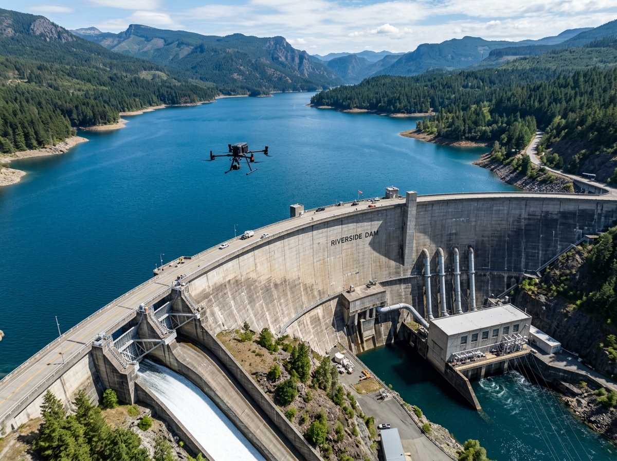
Because LiDAR is an active emitter that provides its own light source, our teams can conduct emergency surveys at night or in heavy overcast conditions following landslides, earthquakes, or dam floods.

Airborne LiDAR vs. Optical Photogrammetry

Understanding when to deploy LiDAR versus photogrammetric mapping for your project needs.

Survey Parameter Airborne LiDAR (Active Laser) Drone Photogrammetry (Passive Camera)
Tree Canopy Penetration Superior: Multiple returns reach bare ground through small foliage gaps Poor: Reconstructs top of tree canopy only; cannot see ground below
Thin Wire & Power Lines Direct Capture: Direct laser hits accurately record conductors and cables Incomplete: Thin wires lack pixel contrast and vanish in triangulation
Lighting Independence 100% Independent: Works equally well in broad daylight, twilight, or night Light Dependent: Requires uniform daylight without harsh shadows or darkness
Vertical Cliffs & Shadow Zones High Accuracy: Directly measures distance into dark shadows and vertical faces Difficult: Shadow areas create noisy or missing 3D points
Visual Texture & Inspection Points only (reflectance intensity), requires co-mounted RGB camera for color Ultra-Realistic: True-color 45MP orthomosaics with millimeter pixel resolution
Cost & Mission Profile Specialized: Higher equipment cost; chosen for complex corridors and thick vegetation Cost Effective: Optimal for open terrain, solar farms, quarries, and construction sites

Our Geodetic LiDAR Workflow

Combining high-grade INS trajectory refinement with automated machine learning point classification.

01

Trajectory Flight & IMU Calibration

Pilots perform figure-8 calibration maneuvers before and after flight to initialize the tactical IMU gyroscopes and accelerometers for sub-centimeter boresight alignment.

02

Forward-Reverse Trajectory Smoothing

Raw GNSS and IMU logs are merged with base station RINEX data in POSPac MMS, running Kalman filters forward and backwards to calculate the absolute flight path.

03

Point Cloud Boresighting & Geocoding

Laser pulse ranges are merged with the Smoothed Best Estimate of Trajectory (SBET) to generate billions of calibrated 3D spatial points with RGB color infusion.

04

ASPRS Standard Point Classification

Using TerraSolid and CloudCompare algorithms, point clouds are classified into standard classes: Ground (Class 2), Low/Medium/High Vegetation, Buildings, and Wire Conductor.

What You Receive in a LiDAR Package

Engineered for direct consumption in AutoCAD Civil 3D, Bentley OpenRail/OpenRoads, PLS-CADD, and QGIS.

πŸ“‘

Classified Point Cloud (LAS / LAZ 1.4)

Fully classified points conforming to ASPRS standards with laser intensity attributes and RGB colorization.

πŸ”οΈ

Bare-Earth Digital Terrain Model (DTM)

Pristine ground surface models with all vegetation and artificial structures cleanly filtered out, delivered in GeoTIFF / DEM.

πŸ“

Dense Vector Contours (DWG / DXF)

True ground contour lines generated from the filtered ground point cloud at 0.25m or 0.5m intervals.

⚑

Vegetation Encroachment & Sag Report

For transmission corridors: clearance encroachment polygons and catenary curve sag calculations under maximum operating temperatures.

Classified LiDAR point cloud showing colorized bare earth terrain and powerlines

Frequently Asked Questions

LiDAR lasers do not literally pass through solid wood or thick leaves; instead, our scanners emit up to 720,000 narrow laser pulses per second at varied angles. Even in dense tropical forests or mango orchards, small gaps of just a few millimeters exist between leaves. Portions of the laser pulse pass through these openings, strike the bare earth underneath, and reflect back to the sensor. Multi-return receivers record these late reflections as the true ground surface.

Depending on flight speed and altitude (typically 60 to 120 meters above ground), our LiDAR systems achieve densities ranging from 100 to over 500 points per square meter (pts/mΒ²). This extraordinary density guarantees high-confidence ground classification even under heavy canopy.

Yes. Our enterprise LiDAR payloads feature a synchronized high-resolution RGB camera. During post-processing, each 3D point is projected onto the corresponding optical photograph, assigning true real-world RGB color values (Red, Green, Blue) to every laser coordinate.

When validated against independent DGPS ground checkpoints, our airborne LiDAR delivers horizontal RMSE < 3.0 cm and vertical RMSE < 2.5–3.5 cm, fully meeting National Highway Authority of India (NHAI) and Indian Railways detailed project report (DPR) surveying mandates.

Explore Our Other Drone Services

Capture Uncompromised Terrain Data with Airborne LiDAR

Discuss your project geography, corridor length, and accuracy specifications with our LiDAR specialists.