Empowering government bodies, urban planners, and infrastructure developers with survey-grade GIS deliverables. From property boundary mapping to dense LiDAR contouring, achieve sub-2cm accuracy at unprecedented speed.
Land surveying has undergone a seismic shift. Traditional Total Station and GNSS rover surveys over hundreds of hectares require weeks of grueling fieldwork, encounter land disputes and dense brush obstacles, and still produce only sparse point measurements.
DronexAviation captures continuous, photorealistic, centimetre-accurate spatial data using hybrid VTOL and multirotor drones fitted with full-frame photogrammetric sensors and airborne LiDAR. Coupled with surveyed Ground Control Points (GCPs) tied to Survey of India CORS networks, we produce survey-grade Digital Elevation Models (DEM), bare-earth Digital Terrain Models (DTM), and True Orthomosaics.
Our geospatial deliverables seamlessly integrate into municipal GIS platforms, ArcGIS, QGIS, AutoCAD Civil 3D, and state revenue portals to resolve property disputes, plan master developments, and execute smart city infrastructure.
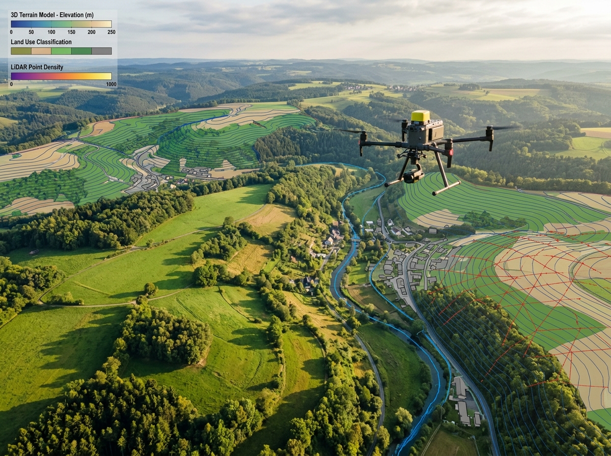
Delivering high-fidelity spatial data for public and private sector projects across India.

Demarcate village abadi land boundaries, individual property parcels, and revenue survey numbers. Support nationwide land titling initiatives (such as SvAMITVA) with legally valid property cards and maps.

Create accurate 3D city models, building footprints, zoning maps, and utility corridor layers for municipal corporations. Model line-of-sight, urban density, and storm water runoff simulations.

Generate high-density elevation models with 0.5-metre contour intervals for greenfield development, industrial parks, SEZs, airport planning, and township infrastructure design.

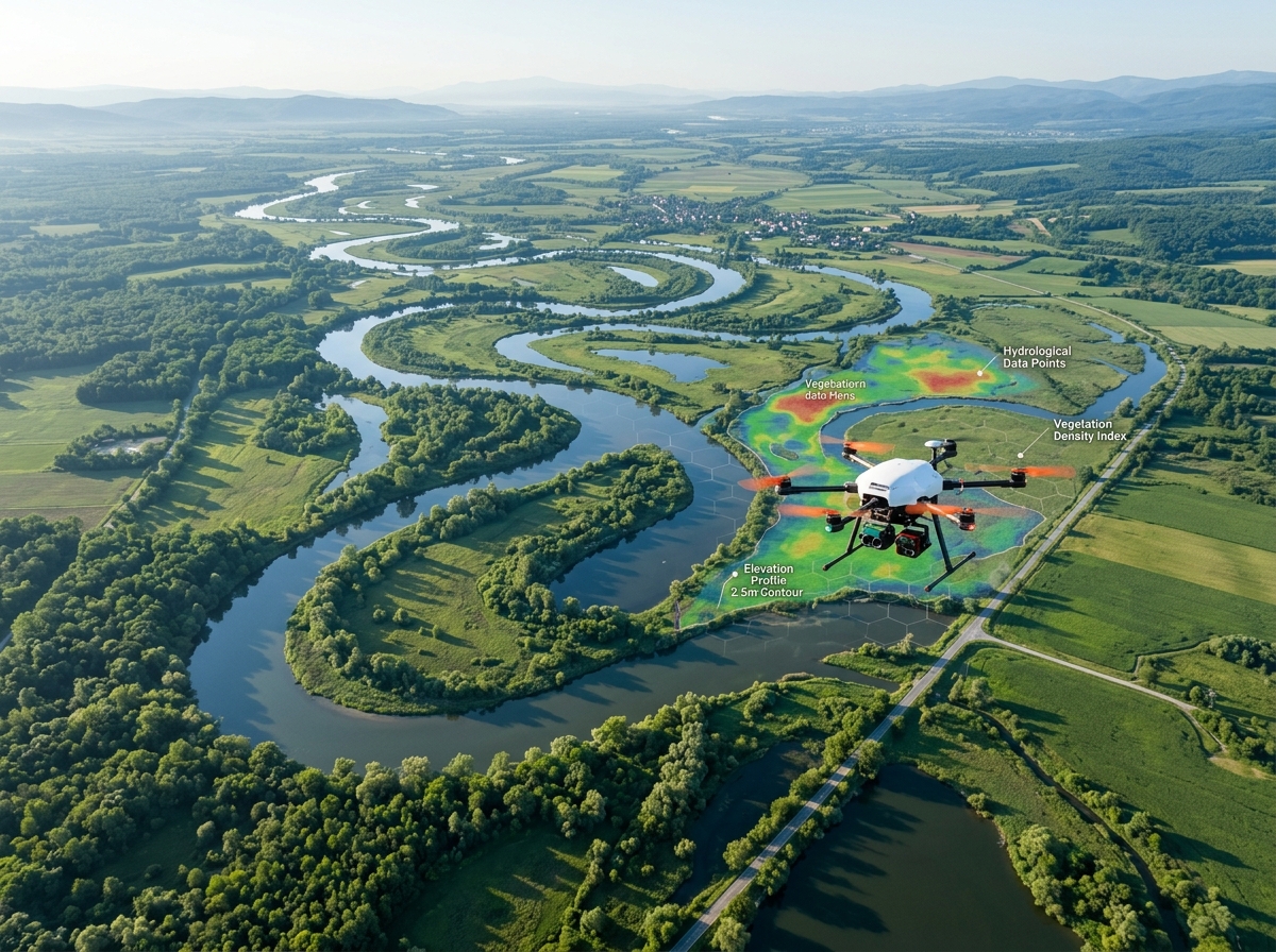
Airborne LiDAR penetrates dense forest canopies and tall grass where cameras cannot see, producing unadulterated bare-earth elevation data for hydrology and infrastructure routing.

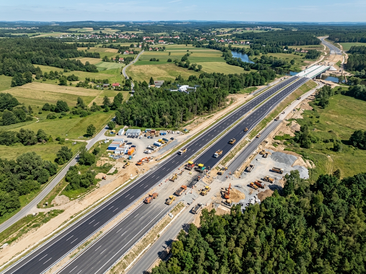
Rapidly survey proposed corridors for pipelines, highways, railways, and transmission lines. Identify affected structures, agricultural trees, and land owners with unambiguous photographic records.

Digitize and attribute spatial features into enterprise GeoDatabase schemas (Esri Shapefile, File Geodatabase, PostGIS). Perform spatial querying, buffer analysis, and demographic overlays.
Combining cutting-edge UAV technology with time-tested geodetic surveying principles.
We establish high-precision Ground Control Points (GCPs) and independent Check Points using dual-frequency DGPS tied to SOI geodetic datum.
Our VTOL or multirotor UAV flies pre-programmed cross-hatch photogrammetry missions with 80% forward and 75% lateral image overlap.
Raw photos undergo rigorous photogrammetric triangulation, dense point cloud reconstruction, and LiDAR point classification in Pix4D and TerraSolid.
Our GIS cartographers vectorize boundaries, roads, structures, and contours, generating QA/QC verified deliverables ready for engineering use.
Calibrated RTK and geodetic GCP networks deliver certified horizontal accuracy <2 cm and vertical accuracy <3 cm.
Map 500+ hectares in a single day compared to weeks required for conventional total station survey parties.
Dramatically reduce survey party manpower, field logistics, and project gestation timelines while increasing point density.
Instead of scattered elevation points every 20 metres, get millions of precise 3D surface points representing continuous terrain reality.
High-resolution orthomosaics provide undeniable visual evidence of land occupancy, boundaries, and existing structures.
Deliverables delivered in SHP, GeoTIFF, DWG, DXF, LAS, and KML formats ready for instant engineering workflow integration.
Fully certified and georeferenced to WGS84, UTM, or local state grid coordinate systems.
Distortion-free, seamless aerial map with GSD as sharp as 1.5 cm/pixel, perfectly georeferenced to national coordinate systems.
Bare-earth surface models with vegetation and man-made structures filtered out for accurate engineering design.
Smooth, engineering-grade contours at 0.5m, 1.0m, or custom elevation intervals.
Attributed shapefiles of road centerlines, building footprints, water bodies, and parcel boundaries with survey reports.

By utilizing dual-frequency RTK/PPK GNSS drones alongside calibrated ground control points (GCPs) surveyed with geodetic DGPS rovers, we achieve horizontal accuracy within 1.5 to 2.5 cm and vertical accuracy within 2.5 to 4.0 cm. Every survey includes a signed accuracy assessment report comparing independent checkpoints.
For densely vegetated areas, we deploy our airborne LiDAR drones instead of purely optical cameras. LiDAR emits hundreds of thousands of laser pulses per second that penetrate canopy gaps to hit the underlying ground, allowing us to classify bare-earth terrain models (DTM) with exceptional precision.
Yes. Government schemes across India, including the Ministry of Panchayati Raj's SvAMITVA scheme, officially mandate drone surveys for creating legal property records (Gharaunda / Property Cards). Our surveys follow Survey of India guidelines and geodetic reference systems.
We deliver in all standard engineering and GIS formats: GeoTIFF, ECW, ESRI Shapefile (.shp), File Geodatabase (.gdb), AutoCAD DXF/DWG, Civil 3D surfaces (.xml), LAS/LAZ point clouds, and Google Earth KML/KMZ files.
Consult with our senior geodesists and GIS cartographers today to obtain an accuracy specification and formal quote.