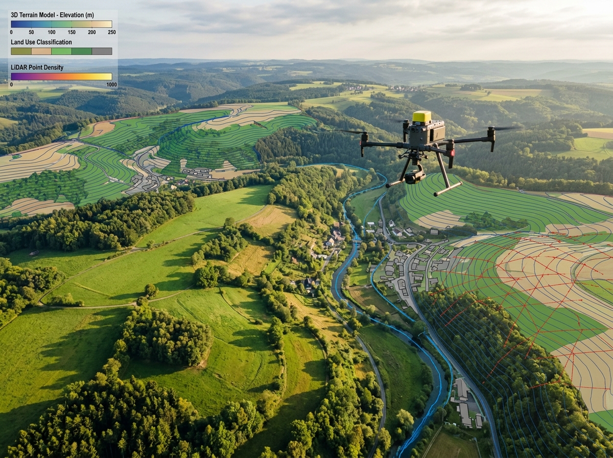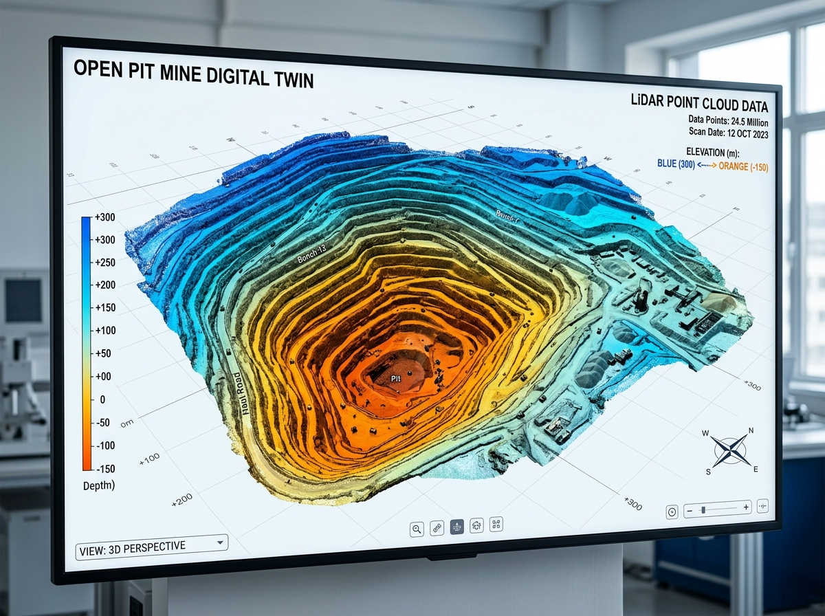
Convert thousands of overlapping aerial photographs into photorealistic, millimeter-accurate 3D digital reality models. Ideal for architectural visualization, open-pit mine reconciliation, BIM construction digital twins, and volumetric inventory tracking.
Photogrammetry is the science of extracting 3D geometric information from overlapping 2D photographs. By capturing thousands of nadir (straight-down) and oblique (angled) aerial images with 80% overlap, our computer vision pipeline solves the camera positions in space and reconstructs dense 3D point clouds containing tens of millions of spatial coordinates.
DronexAviation produces photorealistic textured meshes that allow engineering teams, architects, and stakeholders to virtually walk through a construction site, measure complex highwalls in an open-pit mine, or inspect bridge girder bearings from the comfort of an office.
Our 3D models seamlessly integrate with Autodesk Revit, Navisworks, Civil 3D, Bentley ContextCapture, and Esri ArcGIS β enabling true 4D BIM progress comparison between the as-built reality and the approved architectural design.
Empowering digital engineering workflows across construction, mining, and architecture.

Extract millions of georeferenced spatial points with RGB color attribution. Measure distances, slopes, clearances, and volumes directly within CAD and point-cloud viewers.

Generate continuous triangulated surface meshes wrapped with high-resolution photographic textures. Perfect for VR walkthroughs, stakeholder presentations, and cultural heritage documentation.

Eliminate building lean and parallax distortion in tall urban environments. Every building roof and ground feature is corrected to true planimetric coordinate locations.

Overlay current 3D reality models directly onto architectural IFC/Revit models. Automatically highlight construction deviations, incorrect slab elevations, and structural misalignments.

Capture the exact top-of-canopy and top-of-structure elevations. Vital for telecom line-of-sight studies, solar rooftop shadow analysis, and wind turbine blade clearance modeling.

Access your complete 3D project model in a web browser without installing heavy software. Measure lengths, areas, and heights, leaving spatial annotations for field teams.
Powered by Structure-from-Motion (SfM) algorithms and GPU photogrammetric clusters.
Drones fly cross-grid patterns at both nadir (90Β°) and multi-angle oblique (45Β°β60Β°) angles, capturing vertical facades and horizontal terrain simultaneously.
High-performance servers identify millions of common tie points across overlapping photos, calculating exact camera optics and distortion parameters.
Structure-from-Motion algorithms calculate depth maps for every pixel, generating a dense point cloud and wrapping it into a watertight polygonal 3D mesh.
Radiometrically calibrated photographs are blended onto the 3D polygon surface, creating photorealistic textures exported into OBJ, FBX, LAS, and DWG formats.
Full compatibility across all major CAD, BIM, GIS, and game engine visualization environments.
Georeferenced point cloud with millions of points classified by ground, vegetation, and buildings with true RGB values.
Photorealistic 3D polygonal model with high-resolution texture maps, ready for 3ds Max, Blender, Unreal Engine, and Cesium.
Sub-centimeter resolution orthophoto map free of building tilt, suitable for GIS feature digitization.
Zero-footprint browser URL allowing project stakeholders to pan, zoom, measure, and annotate the model collaboratively.

Photogrammetry uses high-resolution photographic cameras to reconstruct 3D models using overlapping visual features; it delivers gorgeous photorealistic color textures and sharp building edges, but cannot see through dense tree foliage. LiDAR uses active laser pulses to penetrate canopy gaps and works even in shadows or darkness. We often combine both technologies to deliver the ultimate composite dataset.
Yes! We deliver indexed Autodesk ReCap files (.rcp / .rcs), OBJ meshes, and LandXML surfaces that insert directly into Revit, AutoCAD Civil 3D, and Navisworks on exact real-world coordinates.
We utilize multi-axis gimbal payloads and 5-lens oblique camera systems that shoot simultaneously at 90Β° (nadir) and 45Β° in all four cardinal directions (North, South, East, West). This captures every vertical window, column, and undercut with flawless texture fidelity.
Contact our reality capture team today to schedule an aerial 3D modeling mission for your asset.