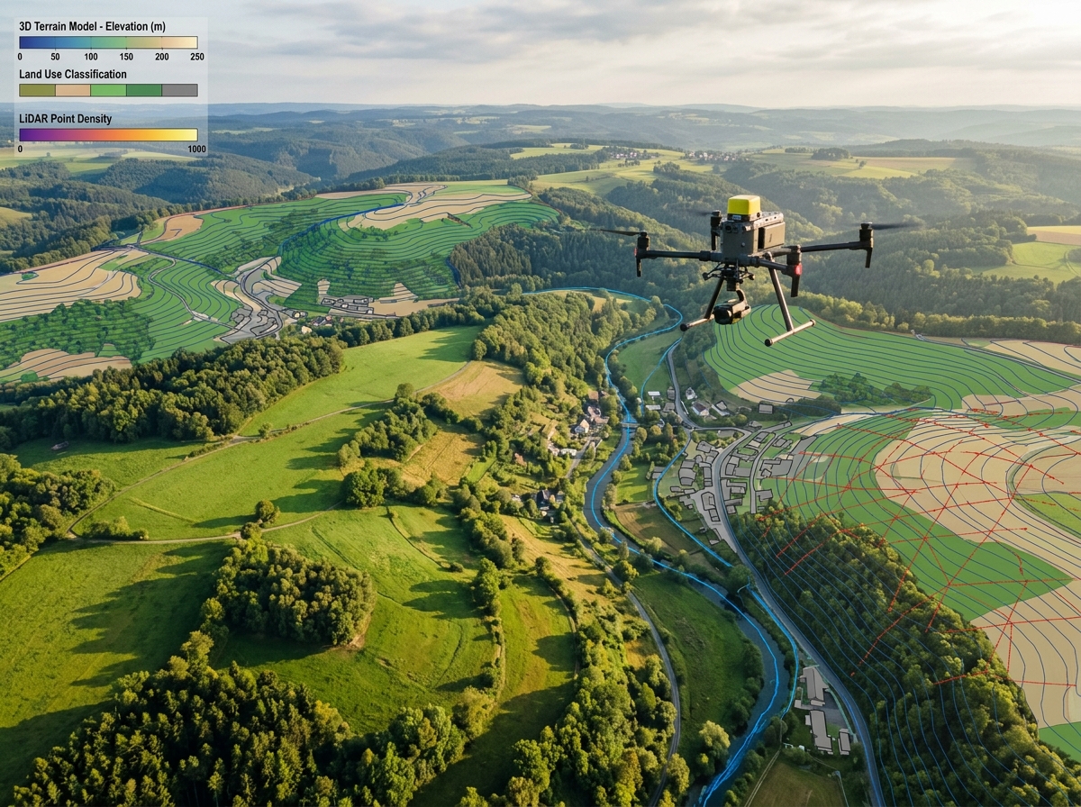
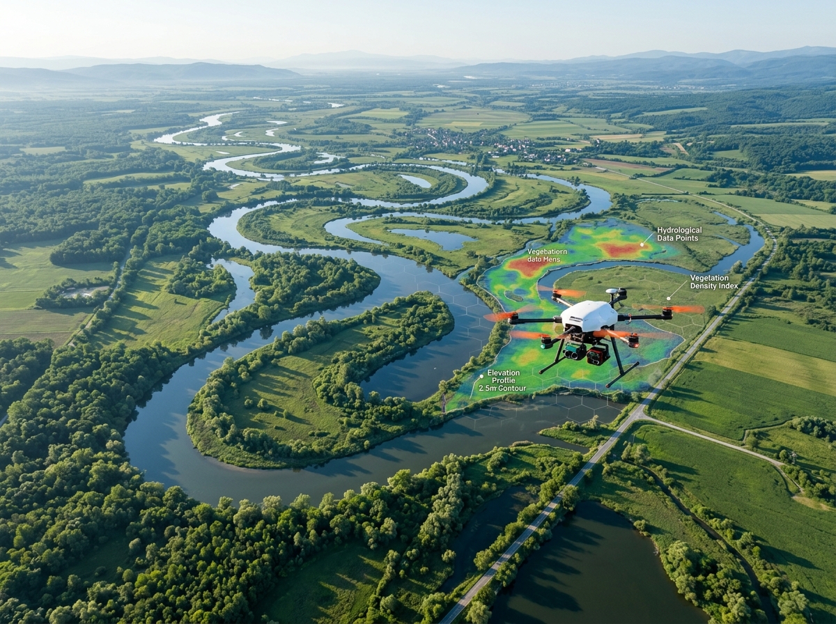
Drone surveying agricultural irrigation canals and farmlands
Agricultural Water Management

Drone Surveys for Irrigation & Canals

Optimize water conveyance and protect downstream farmlands. DronexAviation conducts high-resolution canal corridor surveys, lining crack and breach detection, desiltation volumetric audits, and command area cropping pattern analysis.

60+ kmDaily Canal Linear Coverage
95%Breach Risk Mitigation
± 2 cmBed Elevation Accuracy
30%Water Conveyance Recovery
Canal Lining Breach Detection✦Desiltation Volumetric Calculation✦Command Area Crop Water Auditing✦Cross-Regulator & Siphon Inspection✦Longitudinal Bed Gradient Surveys✦Water Theft & Encroachment Mapping✦Canal Lining Breach Detection✦Desiltation Volumetric Calculation✦Command Area Crop Water Auditing✦Cross-Regulator & Siphon Inspection✦Longitudinal Bed Gradient Surveys✦Water Theft & Encroachment Mapping✦

Modernizing Canal Networks with Precision UAV Technology

Irrigation canal systems stretch across thousands of kilometers of rural terrain, delivering vital water to millions of farmers. However, unmonitored canal breaches, silt accumulation, deteriorating concrete lining, and unauthorized water pumping lead to massive water transmission losses — frequently exceeding 40% before reaching tail-end farmers.

Ground inspection of vast canal networks on foot or two-wheelers is painfully slow, prone to missed cracks, and physically impossible across waterlogged embankments.

DronexAviation deploys long-range fixed-wing and hybrid VTOL drones to map up to 60 linear kilometers of canal corridors per day. Capturing continuous 2-centimetre orthomosaics, 3D canal cross-sections, and thermal moisture scans, we pinpoint seepage points, calculate desiltation earthwork, and map exact cropping patterns across the Culturable Command Area (CCA).
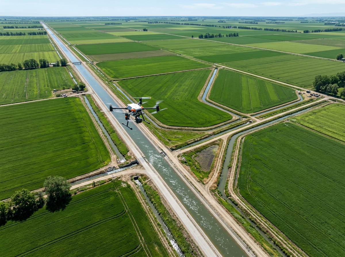
Aerial drone surveying agricultural canal network and distributaries
🌾
Water Audit Ready60 km Daily Survey Capacity

Comprehensive Drone Solutions for Irrigation Departments

Ensuring water reaches every designated acre through proactive aerial intelligence.

Concrete lining crack and breach detection
🪣

Canal Lining Crack & Breach Detection

Detect concrete panel displacements, missing tiles, joint seal failures, and bank washouts. Identify seepage water saturation behind canal embankments before catastrophic breaches flood farmland.

Desiltation volumetric earthwork audit
⚒

Desiltation Volumetric Audits

Accurately measure silt, sand, and weed buildup within the canal prism prior to seasonal cleaning. Compare pre- and post-desiltation drone surveys to verify contractor excavation invoices to the exact cubic meter.

Longitudinal canal bed slope mapping
📐

Bed Slope & Hydraulic Gradient Profiling

Extract continuous Longitudinal Sections (L-sections) and cross-sections of the canal bed to detect adverse bed slopes, silt humps, and hydraulic bottlenecks that obstruct gravity flow to tail-end minors.

Command area crop water requirement mapping
🌱

Command Area (CCA) Crop Water Mapping

Multispectral drone imagery classifies crop varieties (paddy, sugarcane, wheat, pulses) and evaluates vegetative health across command areas to compute realistic seasonal water release requirements.

Aqueduct siphon and cross regulator inspection
🏗

Hydraulic Structures Inspection

Inspect head regulators, cross-regulators, escapes, falls, aqueducts, and super-passages for structural cracking, gate corrosion, trash rack blockages, and scour at downstream energy dissipators.

Water theft and canal right of way encroachment
🚫

Water Theft & RoW Encroachment Detection

Spot illegal pipe cuts, unauthorized diesel pump suction lines, damaged outlets, and encroachment along canal service inspection roads with geo-tagged photographic evidence.

Linear Irrigation Survey Methodology

Structured for maximum linear speed, geodetic accuracy, and rapid report turnaround.

01

Alignment & DGPS Control Setup

We establish geodetic DGPS control points along canal headworks, regulators, and bridge crossings tied to national geodetic datum.

02

Long-Range Corridor UAV Flight

Long-endurance VTOL drones fly following the winding canal alignment, capturing continuous high-res RGB photogrammetry and LiDAR elevation data.

03

Hydraulic Geometric Processing

Point clouds are processed to generate continuous 3D canal meshes, automatic chainage-wise cross-sections, and bed slope elevation profiles.

04

Irrigation GIS Portal & CAD Output

Deliverables are structured into AutoCAD drawings, GIS shapefiles, and web-based orthomosaics for irrigation executive engineers.

Why Irrigation Departments Partner with DronexAviation

💧

Water Transmission Recovery

Remediating detected seepage points and clearing silt humps restores up to 30% of previously lost irrigation water volume.

+30% Water Recovered
⚒

Audit-Proof Desiltation Billing

Pre- and post-cleaning 3D volume calculations eliminate inflated contractor desiltation bills with certified cubic-meter reports.

100% Billing Accuracy
🚀

15x Faster than Foot Surveys

Survey an entire 50-kilometer canal division in a single day, delivering CAD sections in days instead of months.

50 km in 1 Day
🌾

Guaranteed Tail-End Delivery

Optimizing bed slopes and closing unauthorized diversions ensures water reaches impoverished tail-end distributaries.

100% Tail Reach
🛡

Catastrophic Breach Prevention

Detecting piping leaks and weakened earthen banks prevents sudden breaches during peak agricultural release seasons.

Zero Breach Inundations
📊

Cadastral Command Area Mapping

Link crop acreage to water tax revenue assessment, improving water billing collection and departmental transparency.

Higher Tax Realization

Irrigation Survey Deliverables Package

Engineered for Superintending Engineers, Executive Engineers, and irrigation project planners.

📐

Canal L-Sections & Cross-Sections (DWG / CSV)

Detailed transverse profiles at 20m chainages showing bed levels, bank widths, full supply level (FSL), and freeboard.

🌎

High-Resolution Canal Orthomosaic

Continuous GeoTIFF strip map at 2 cm/pixel covering the canal prism, embankments, and service road Right-of-Way.

⚒

Desiltation Volumetric Heat Map

Isopach volume map identifying exact locations, chainages, and quantities of silt requiring removal.

🔍

Lining Defect & Seepage Geo-Database

Attributed GIS shapefile of all cracks, breaches, collapsed retaining walls, and unauthorized water pumping points.

Irrigation canal drone survey deliverables

Frequently Asked Questions

Yes! During running canal conditions, our drones survey embankments, service roads, freeboard levels, structures, and thermal seepage lines. However, to extract accurate bed levels and calculate desiltation quantities, we recommend conducting the survey during dry canal rotational closure or closure maintenance periods.

We conduct a baseline drone survey before desiltation commences to generate a high-density 3D digital surface model of the silted canal bed. After the contractor completes excavation, we fly a second verification survey over the exact same georeferenced coordinates. Software diffing calculates the precise volume of material removed, eliminating contractor over-billing disputes.

Yes. Water seeping through an earthen canal bank creates localized evaporative cooling and altered thermal inertia. Our radiometric thermal cameras detect these cooler saturation anomalies along the outer toe of the embankment before piping failures cause structural breaches.

By mapping cropping patterns across thousands of agricultural fields in the command area using multispectral imagery, irrigation engineers can calculate precise crop water requirements (evapotranspiration) and match scheduled dam water releases directly to actual field demand rather than guesswork.

Explore Our Other Industry Solutions

Modernize Your Canal Network with DronexAviation

Consult with our irrigation and water resource engineers today to schedule a pilot canal audit or commission a command area survey.