Detect invisible thermal anomalies, electrical overloads, solar cell degradation, and structural insulation bypasses with calibrated LWIR radiometric thermal sensors. Every pixel contains absolute temperature data accurate to ±2°C.
Mechanical stress, electrical resistance, and structural degradation invariably manifest as thermal abnormalities long before physical failure or catastrophic fire occurs. Traditional handheld thermal inspections require technicians to scan thousands of panels or climb hazardous high-voltage structures with handheld FLIR cameras—a slow, dangerous, and incomplete process.
DronexAviation deploys uncooled VOx microbolometer radiometric thermal cameras (640×512 resolution at 30Hz) mounted on stabilized 3-axis gimbals alongside 4K visual RGB optical zoom sensors. By capturing dual-stream radiometric video and geo-tagged stills simultaneously, our thermographers overlay thermal heat signatures directly onto high-resolution optical imagery.
Every thermal capture stores per-pixel temperature values (R-JPEG), allowing post-flight emissivity, reflected temperature, and humidity recalibration. All inspections follow international standards including IEC 62446-3 (Photovoltaic Thermography) and NFPA 70B / ASTM E1934 (Electrical Thermography).
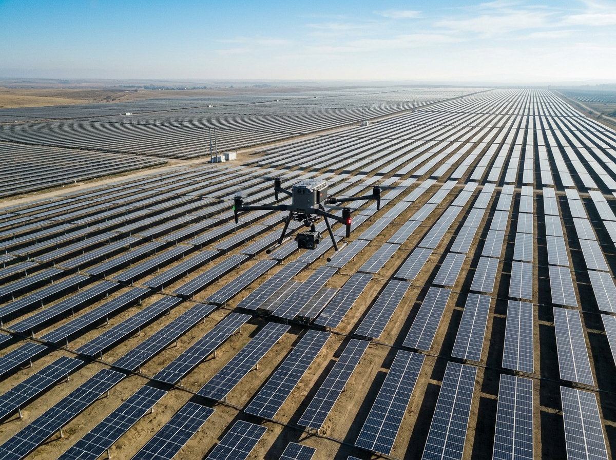
Targeted aerial thermal surveys for asset maintenance, energy loss prevention, and electrical fire safety.

Rapidly audit 50+ MW per day adhering to IEC 62446-3. Detect hot spots, bypass diode failures, substring open-circuits, PID degradation, and module soiling with automated georeferenced punch-lists.

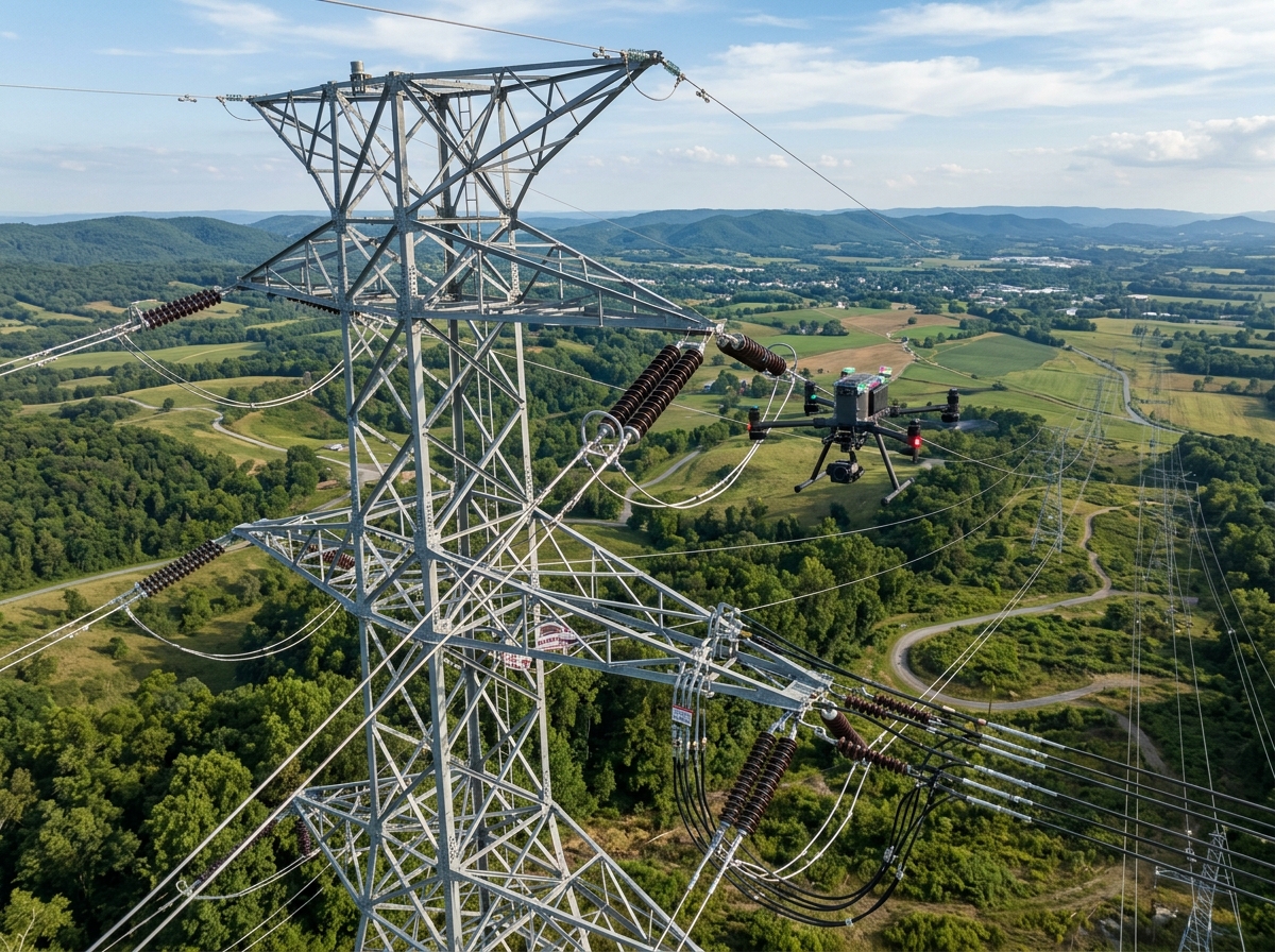
Inspect energized transformers, busbars, disconnect switches, and insulator strings safely from outside the flashover zone. Identify high-resistance bolted connections with classified Delta-T temperature differentials.

Detect thermal bridging, missing insulation, air leakages, and moisture entrapment in flat commercial roofs. Quantify HVAC heat loss to earn green building certifications and slash energy expenses.

Detect buried steam pipelines, heated crude oil conduits, and petrochemical fluid leaks by observing surface thermal anomalies in surrounding topsoil and insulation cladding.

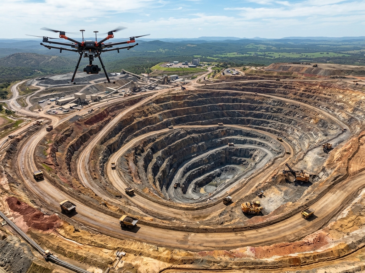
Locate spontaneous subterranean coal seam combustion, smoldering deep inside coal stockpiles, and landfill gas flares before surface fires break out, safeguarding mine assets.

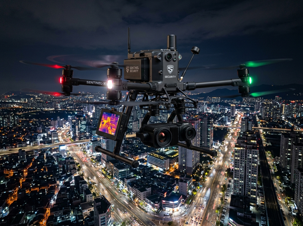
Spot human body heat signatures, lost trekkers, and trespassers in complete darkness, dense jungle foliage, or heavy smoke where optical cameras are completely blind.
Strict compliance with international infrared testing standards for reproducible, auditable findings.
We measure ambient temperature, relative humidity, wind speed, solar irradiance (>700 W/m² for PV), and material emissivity to calibrate radiometric sensor offsets.
Our drones fly pre-planned perpendicular grid corridors maintaining optimal viewing angles (<30° off-nadir) to eliminate solar reflection artifacts.
Proprietary machine learning models scan tens of thousands of thermal frames, flagging Delta-T temperature differentials and classifying defects by severity levels.
Level-III thermographers sign off on comprehensive PDF/GIS reports containing exact geo-coordinates, thermal profile graphs, and root-cause remedial recommendations.
We categorize every detected thermal anomaly using the internationally recognized NETA / ASTM thermal priority scale.
| Priority Tier | Temperature Rise (ΔT Over Baseline) | Severity Description | Recommended Action Timeline |
|---|---|---|---|
| Priority 4 (Minor) | 1°C to 10°C rise | Minor mechanical friction or slight phase current imbalance | Log in maintenance record; re-inspect during scheduled quarterly outage. |
| Priority 3 (Moderate) | 10°C to 20°C rise | Probable high-resistance connection, loose terminal, or soiling defect | Schedule maintenance check within 14 to 30 days. |
| Priority 2 (Serious) | 20°C to 40°C rise | Imminent equipment damage, severe diode failure, or heavy terminal oxidation | Repair as soon as possible, ideally within 48 to 72 hours. |
| Priority 1 (Critical) | > 40°C rise | Catastrophic failure imminent; acute fire and flashover hazard | Immediate shutdown and emergency maintenance intervention required. |
Our thermal inspection packages are designed for asset managers and field maintenance engineers alike.
Seamless aerial thermal map of your entire facility where every single pixel stores calibrated temperature data in degrees Celsius.
Every detected anomaly is tagged with centimeter GPS coordinates, module serial numbers, and equipment IDs for direct navigation by maintenance crews.
Detailed side-by-side RGB vs. Thermal sidebars, Delta-T thermal histogram profiles, and certified repair recommendations signed by Level III thermographers.
Inspect, filter, and track defects across your portfolio over time with our browser-based interactive thermal viewer.

Standard thermal video only provides a visual color palette (ironbow, rainbow) without calibrated temperature measurements. Radiometric thermal cameras record raw infrared energy data for every individual pixel. This allows post-flight software to query the exact temperature (°C or °F) of any point on an asset, calculate Delta-T differentials, and adjust emissivity and atmospheric transmission values retroactively.
In accordance with IEC 62446-3 guidelines, solar thermal drone surveys must be conducted under clear skies with solar irradiance exceeding 700 W/m² (ideally >800 W/m²), low cloud cover, and wind speeds below 15 km/h to prevent convection cooling of localized module hot spots.
Yes, absolutely. By utilizing long-focal-length optical zoom and telephoto thermal lenses (such as 30x optical zoom with FLIR 19mm/25mm lenses), our drones maintain safety stand-off distances of 15 to 30 meters well outside maximum flashover arc limits. This enables comprehensive thermal inspection of 400kV and 765kV switchgear without shutting down transmission lines.
Our inspection team includes ASNT / ISO 18436 Level II and Level III Certified Infrared Thermographers, supported by DGCA-certified remote pilots with specialized mission training in electrical and industrial asset safety.
Schedule a calibrated radiometric drone thermal survey for your solar plant, substation, or industrial plant.