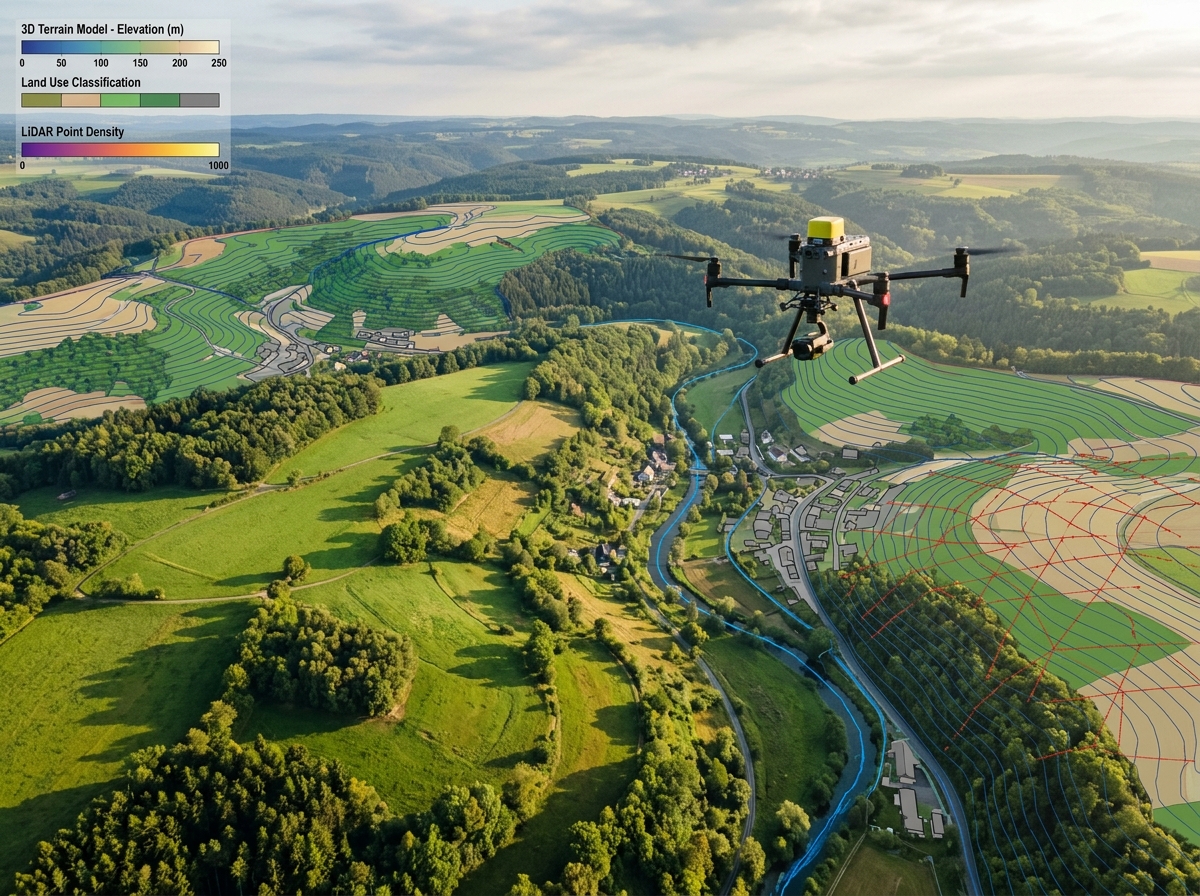
Drone surveying wide river basin and floodplain
Hydrology & Waterway Management

Drone Surveys for Rivers & Floodplains

High-fidelity spatial data for river basin management, hydraulic flood simulation, riverbank erosion tracking, and illegal sand mining volume detection. Delivering centimetre-accurate Digital Elevation Models across dynamic aquatic environments.

1000+ km²Basin Survey Capacity
HEC-RASHydro Model Ready
± 1.5%Sand Mining Volumetric Accuracy
0.5 mFlood Contour Resolution
2D HEC-RAS Flood Simulation✦Riverbank Erosion Monitoring✦Sand Mining Extraction Audits✦Inland Waterway Navigation Depth✦Embankment & Bund Health✦Wetland & Delta Conservation✦2D HEC-RAS Flood Simulation✦Riverbank Erosion Monitoring✦Sand Mining Extraction Audits✦Inland Waterway Navigation Depth✦Embankment & Bund Health✦Wetland & Delta Conservation✦

Understanding River Dynamics with Survey-Grade UAVs

Rivers are constantly evolving natural corridors. Annual monsoon floods, siltation, riverbank erosion, and aggressive sand extraction constantly reshape river geometry, threatening adjoining towns, bridges, and agricultural livelihoods. Conventional hydrographic surveys are dangerous, expensive, and unable to capture wide flood plains beyond the immediate river channel.

DronexAviation bridges river hydrology with aerial precision. Operating long-endurance hybrid VTOL drones equipped with high-resolution photogrammetric sensors and topographic LiDAR, we capture hundreds of square kilometers of river corridor per mission.

Our bare-earth Digital Terrain Models (DTM) serve as the primary elevation input for 1D/2D hydrodynamic flood models in HEC-RAS and MIKE 21, allowing disaster management authorities to predict flood inundation zones with extraordinary spatial accuracy.
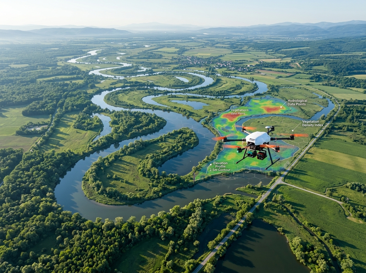
Aerial drone surveying river meanders, floodplains, and sandbars
🌞
LiDAR + Sonar ReadySeamless Land-Water Models

Drone Applications in Riverine Environments

Empowering water resource departments, environmental authorities, and mining regulators.

Floodplain mapping and HEC-RAS modeling
🌊

Flood Inundation & Hazard Zoning

Extract sub-meter elevation grids of active river floodplains. Model 10-year, 50-year, and 100-year return period flood inundation limits to establish statutory No-Development Zones and disaster evacuation routes.

Sand mining volumetric extraction audits
⚒

Sand Mining Volumetric Audits

Monitor riverbed sand mining lease boundaries with centimetre precision. Periodic volumetric differencing identifies extraction beyond approved Environmental Clearance depths to curb illegal mining.

Riverbank erosion and morphological change
🪣

Riverbank Erosion & Meandering Tracking

Compare pre- and post-monsoon drone orthomosaics to quantify riverbank recession rates, identify vulnerable embankment reaches, and plan targeted rip-rap revetment and spur civil works.

Bridge pier scour and river training inspection
🌇

Bridge Pier Scour & Guide Bund Audits

Inspect river training guide bunds, launching aprons, and flow approach angles near major rail and road bridges to protect bridge foundations against dangerous scour vortexes during floods.

Inland waterways navigation channel surveys
🚢

Inland Waterways Navigation Mapping

Support the Inland Waterways Authority of India (IWAI) by mapping national waterways, navigation fairway depths, shoal formations, terminal riverfronts, and bank vegetation clearances.

Wetland and river ecological restoration
🌿

Wetland & Riparian Ecological Monitoring

Multispectral drone mapping assesses mangrove health, riparian buffer degradation, aquatic weed proliferation (water hyacinth), and industrial effluent discharge points into river courses.

Large-Scale River Corridor Survey Framework

Overcoming unique challenges of water reflection, marshy terrain, and vast linear expanses.

01

Geodetic Network & Tide Gauges

We deploy dual-frequency DGPS base stations on stable high banks and correlate water surface elevations with temporary river stage gauges.

02

Long-Range VTOL Flights

UAVs equipped with polarizing optical filters and LiDAR sensors fly wide multi-strip swaths over river channels and both floodplain banks simultaneously.

03

Land-Water Elevation Merging

Exposed sandbars, floodplain terrain, and embankment structures are reconstructed into continuous DTMs and merged with sonar hydrographic cross-sections.

04

HEC-RAS & GIS Deliverables

Elevation surfaces are formatted for instant import into hydraulic simulation tools (HEC-RAS, TUFLOW, MIKE) and state disaster GIS databases.

Why River Authorities Choose DronexAviation

🌊

Actionable Flood Simulation

Produce elevation models with 0.5m contour precision that accurately predict water depths and village inundation hours in advance.

0.5m Contours
⚒

Curb Illegal Sand Mining

Periodic volumetric audits give mining departments indisputable evidence to impose penalties on unauthorized mining operators.

100% Legal Enforceability
🚀

Vast Area Coverage

A single drone crew maps up to 20-30 linear kilometers of wide river corridor per day — 20x faster than traditional total station crews.

30 km / Day
🛡

Zero Hazardous Boat Traversal

Eliminate the danger of capsizing survey boats in turbulent flood currents, shallow sandbars, or rocky river rapids.

Zero Water Hazards
🪣

Proactive Erosion Defenses

Identify receding riverbanks threatening roads, villages, or bunds months before monsoons hit, enabling timely revetment construction.

Early Warning Protection
📊

National Waterway Compliant

Deliverables conform strictly to Inland Waterways Authority of India (IWAI) and Central Water Commission (CWC) hydrographic standards.

IWAI & CWC Compliant

River Survey Deliverables Package

Engineered for river hydrologists, flood management authorities, and mining departments.

🌎

Bare-Earth DTM for HEC-RAS (GeoTIFF / LAS)

High-resolution terrain model with vegetation filtered out, formatted for immediate import into 2D flood simulation engines.

🗺

River Corridor True Orthomosaic

High-resolution georeferenced mosaic mapping river channel features, sandbars, embankments, and surrounding infrastructure.

⚒

Sand Mining Volumetric Extraction Report

Certified cut/fill volumetric report quantifying sand removed per mining lease with color-coded elevation difference heat maps.

📐

Cross-Sections & Bank Profile CAD Drawings

Transverse river cross-sections extracted at required intervals showing bed levels, bank heights, and high flood levels (HFL).

River basin survey deliverables

Frequently Asked Questions

We deliver bare-earth Digital Terrain Models (DTM) as high-resolution GeoTIFF rasters and terrain meshes. Within HEC-RAS Mapper, these surfaces create the geometry for 2D flow areas and cross-section cut lines. The millimeter-level accuracy of our DTMs ensures accurate hydraulic simulation of flood wave propagation and water depth velocities.

In clear, shallow waters (such as mountain streams), specialized topobathymetric green LiDAR drones can penetrate water up to 1.5 times the Secchi depth. For turbid or deep rivers, we execute integrated surveys combining aerial drone photogrammetry/LiDAR for the dry floodplain with autonomous sonar-equipped Unmanned Surface Vessels (USVs) for underwater riverbed bathymetry.

We conduct periodic georeferenced drone surveys tied to geodetic benchmark pillars. By overlaying the surveyed post-extraction digital surface model onto the original baseline pre-mining ground surface or approved Mining Plan pit limits, our software calculates the exact cubic meter volume extracted. The reports include timestamped photos and GPS boundary coordinates that withstand scrutiny in National Green Tribunal (NGT) hearings.

For river morphological and sand mining studies, the dry winter and pre-monsoon summer months (December to May) are ideal because water levels are at their lowest, exposing the maximum riverbed, sandbars, and bank toe surfaces. For post-flood damage and inundation assessments, flights are mobilized immediately after flood peak recession.

Explore Our Other Industry Solutions

Transform River Basin Management with DronexAviation

Contact our river hydrology and flood mapping team today to design a customized aerial survey program.