Revolutionise your mine operations with survey-grade aerial intelligence. From stockpile volumes to highwall stability, DronexAviation delivers data that drives safer, smarter decisions — 10× faster than ground crews.
The mining industry is one of the most data-hungry sectors in the world. Accurate, timely spatial data directly impacts safety, productivity, and profitability. Traditional ground-based survey methods in mines are slow, hazardous, and expensive — requiring personnel to operate in active blast zones, unstable highwalls, and restricted areas.
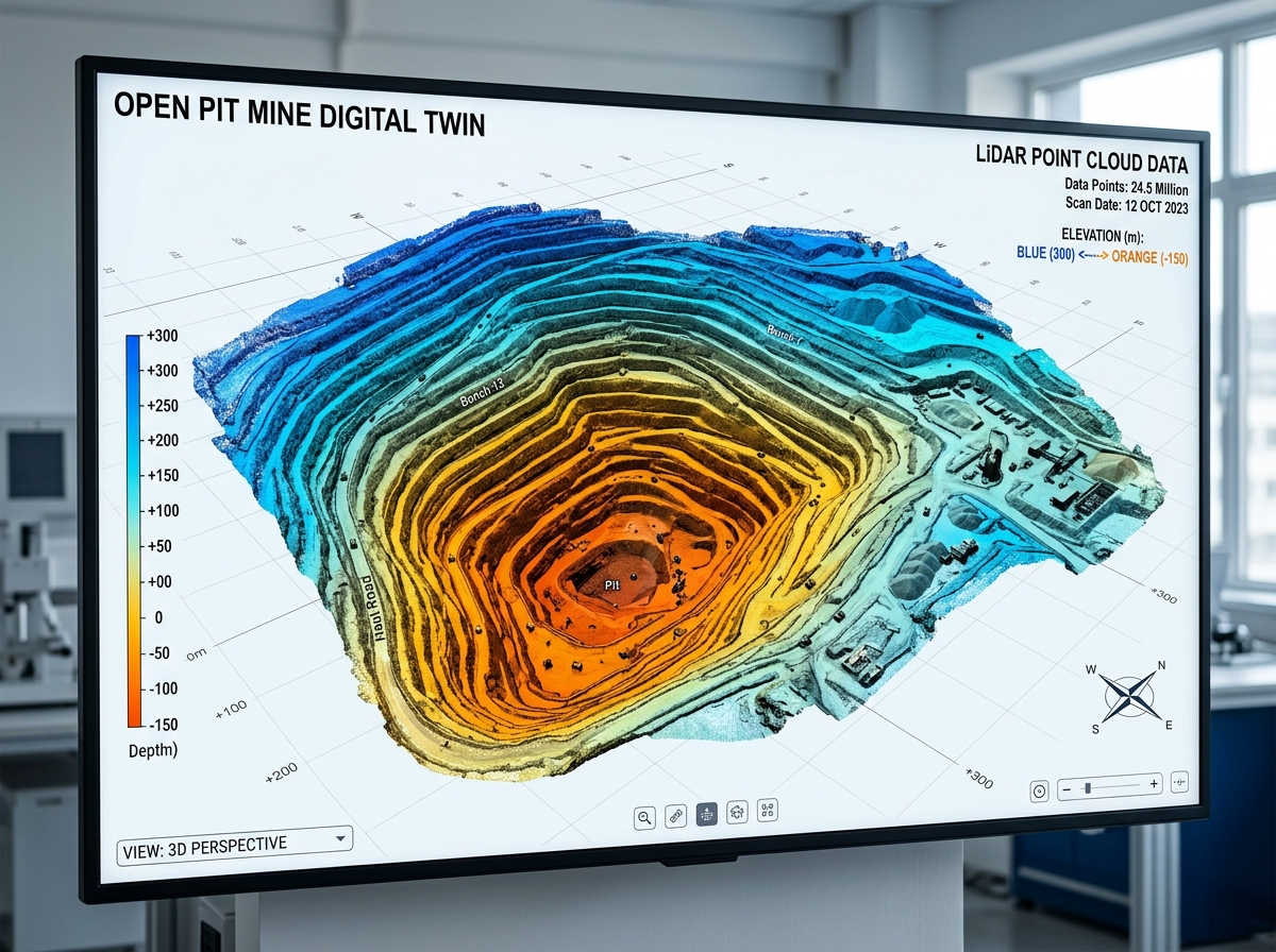
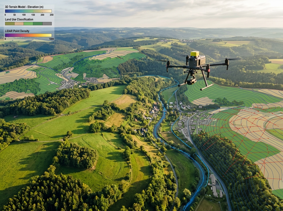
DronexAviation's certified UAV survey teams bring enterprise-grade aerial intelligence to every type of mining operation — open-pit coal mines, iron ore quarries, limestone quarries, sand and gravel extraction, and underground mines. Our DGCA-approved drones are equipped with RTK GPS, photogrammetric cameras, and LiDAR sensors capable of capturing millions of data points in a single flight.
Our deliverables are directly compatible with mining industry platforms including Deswik, Vulcan, MineSight, and AutoCAD — enabling your engineers to immediately use the data for planning, reconciliation, and reporting without conversion overhead.
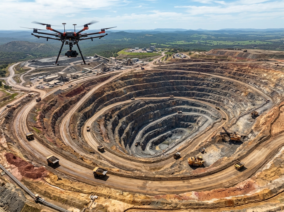
From daily operational surveys to long-term environmental monitoring, our drones cover every aspect of the mine lifecycle.

Calculate ore, coal, and waste rock stockpile volumes with ±0.5% accuracy. Run weekly or monthly reconciliation surveys far faster and safer than any ground method. Eliminate human error from manual tape measurements and produce legally defensible reports for royalty payments and audits.

Periodic drone flights produce georeferenced 3D models that detect wall movement, cracking, and subsidence before they become critical failures. Change detection between flight epochs pinpoints instability with sub-centimetre precision, giving geotechnical teams early warning and time to respond.

Survey the blast site before and after each event to calculate muck-pile volumes, assess fragmentation, and verify movement. Drone surveys eliminate the wait time for re-entry after a blast and deliver data to blast engineers within hours, enabling faster drilling optimisation and reduced cycle times.

Overlay as-built drone surveys onto mine design models to compare actual excavation against the plan. Immediately identify over- or under-mining, incorrect bench configurations, and access road deviations. Monthly progress maps keep management and regulators fully informed with photographic evidence.

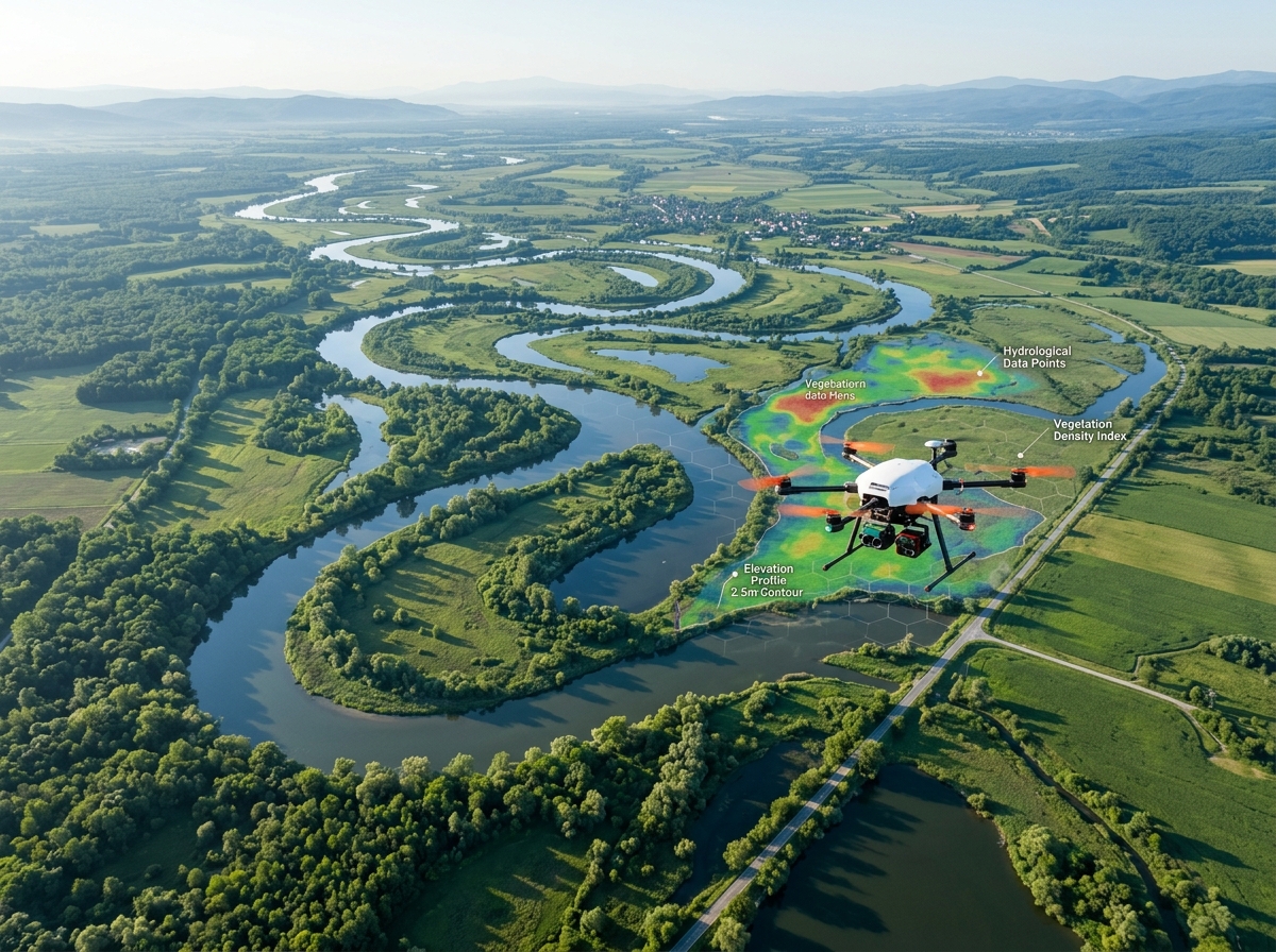
Track revegetation progress on rehabilitated mine waste dumps using multispectral NDVI analysis. Monitor water bodies, tailings dams, and acid mine drainage seepage areas. Produce periodic environmental compliance reports required by regulatory authorities with documented aerial imagery and maps.

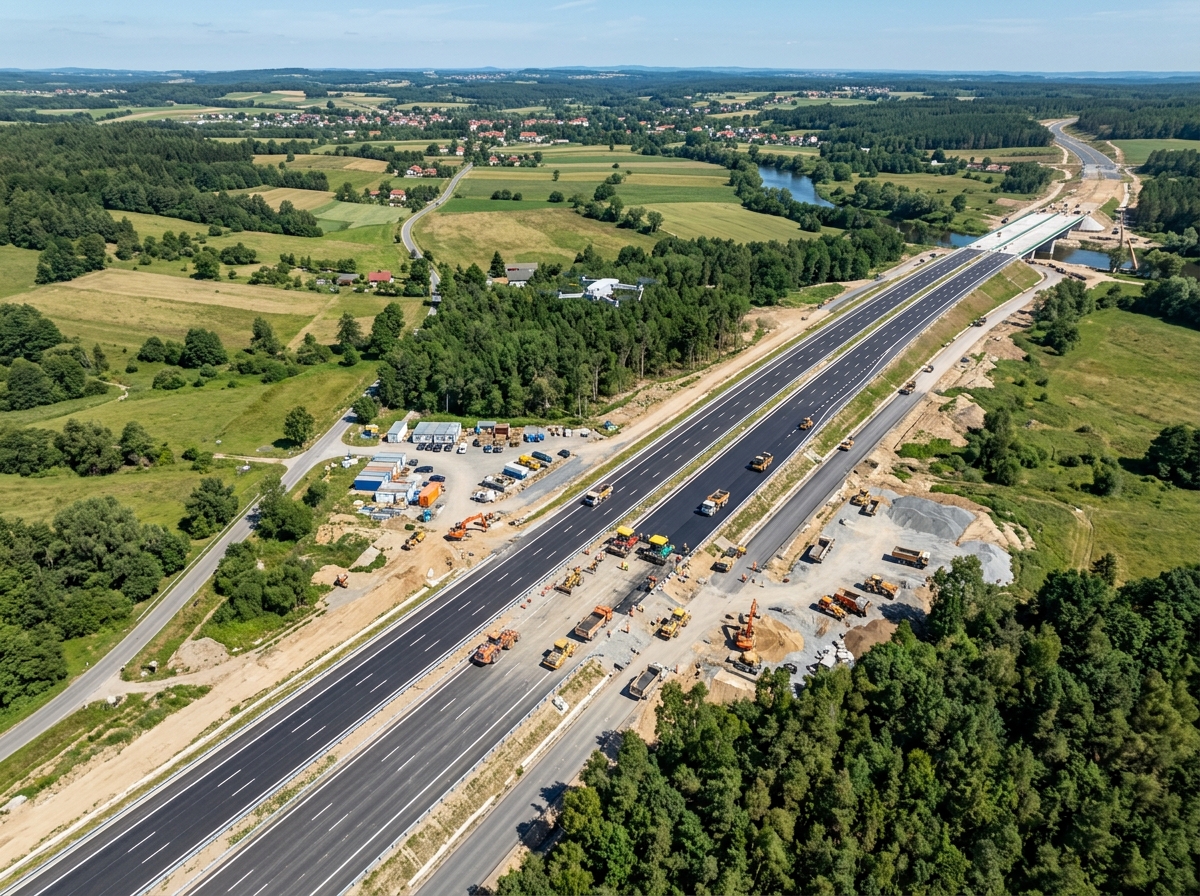
Survey haul road conditions, identify potholes and erosion, measure road widths, and calculate cut/fill volumes for road upgrades. Map conveyor corridors, tipple areas, and surface infrastructure to support asset management and capital planning programmes.
A streamlined four-step workflow from site assessment to final deliverables — typically completed within 48 hours.
We review airspace restrictions, identify hazards (blasting schedules, heavy machinery), establish ground control point locations, and design the optimal flight plan for your mine geometry.
DGCA-licensed pilots set up RTK ground control points for absolute accuracy, then execute automated grid flights over the pit, stockpiles, and infrastructure areas — safely beyond blast exclusion zones.
Imagery and point cloud data is processed through Pix4D and Cloud Compare to produce orthomosaics, DEMs, and georeferenced 3D models with full quality control checks by our survey team.
Clients receive volume reports, CAD/DXF files, GeoTIFFs, and interactive 3D model links — all within 24–48 hours of flight, ready for your mine planning and ERP systems.
No personnel in the blast zone, on unstable walls, or near heavy mining equipment. Our drones survey from safe distances, eliminating the leading cause of surveyor injury in mines.
A survey that takes a ground team 3 days is completed by our drone in 4 hours — with 100× more data points. Weekly surveys become feasible, enabling real-time operational insight.
Eliminate the cost of survey grade GPS equipment hire, survey crew accommodation in remote locations, and production delays caused by slow manual surveys.
RTK GPS and multiple GCPs achieve ±2 cm horizontal and ±3 cm vertical accuracy — meeting or exceeding the accuracy of conventional total station surveys for volumetric reporting.
Beyond basic volumes, drone data enables slope angle analysis, drainage modelling, equipment tracking, and dust plume monitoring — all from the same flight dataset.
All our operations are conducted under DGCA approvals with proper NOTAMs, insurance, and safety management plans — ensuring your mine remains compliant with civil aviation regulations.
Every mining survey project includes a comprehensive package of processed data and reports, delivered within 48 hours.
GeoTIFF orthomosaic at 2–5 cm/pixel resolution, georeferenced to WGS84 / local coordinate system. Usable in any GIS or CAD platform.
Surface and terrain models at 5–10 cm resolution for volumetric calculations, slope analysis, and drainage modelling.
Certified stockpile and pit volume calculations with cut/fill analysis, presented in a format suitable for audits, royalty payments, and management reporting.
3D surface models and contour lines exported to DXF/DWG format, directly importable into AutoCAD, Civil 3D, Deswik, and Vulcan.
Classified LiDAR or dense photogrammetric point cloud for structural analysis, change detection, and integration with mine planning software.

For active operations, we recommend weekly stockpile surveys for inventory reconciliation, monthly highwall scans for geotechnical monitoring, and quarterly full-site surveys for environmental reporting. We can tailor a survey schedule to match your production cycles and reporting obligations.
Yes — with proper coordination with your site safety team. We schedule flights during shift changes or planned breaks to avoid conflict with heavy equipment. Drones can survey while trucks operate on haul roads and excavators work, provided safe separation distances are maintained per our safety management plan.
With RTK GPS drones and properly surveyed GCPs, we achieve ±0.5% volume accuracy for large stockpiles and ±2 cm spatial accuracy. Independent verification studies consistently show our results match conventional survey methods, making drone volumes legally defensible for royalty reporting.
All DronexAviation operations are conducted under valid DGCA authorisations with licensed Remote Pilots. We handle all necessary NOTAMs, airspace permission applications, and regulatory filings — your team just needs to confirm site access and safety briefings.
Contact our mining survey specialists today for a free consultation and customised quote. We'll design a drone survey programme tailored to your mine's specific needs, reporting cycles, and budget.