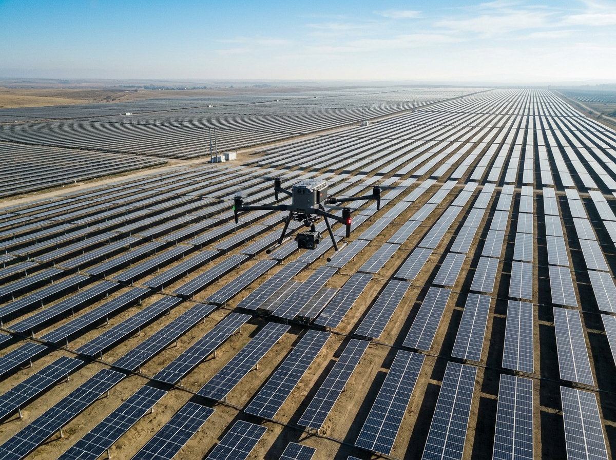
Safeguard grid reliability without putting linesmen at risk. DronexAviation conducts comprehensive high-voltage transmission corridor surveys, pylon integrity audits, and substation thermography while lines remain fully energized.
Power transmission and distribution networks traverse some of the harshest terrains on earth — dense forests, mountain ranges, and rivers. Conventional manual inspection requires linesmen to climb energized towers, endangering lives and frequently necessitating costly pre-arranged grid shutdowns.
DronexAviation deploys enterprise-grade UAVs shielded against intense electromagnetic interference (EMI) capable of operating safely within close proximity of 132 kV to 765 kV transmission towers. Armed with 200x hybrid zoom optical sensors and high-frequency radiometric thermal cameras, our pilots capture millimeter-level details of pins, cotter keys, insulators, dampers, and conductors without touching a single component.
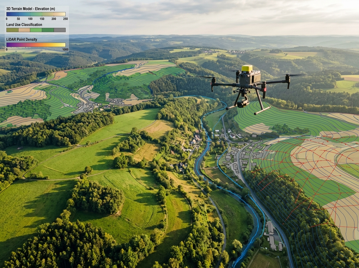
Combined with airborne LiDAR corridor scanning, we generate accurate 3D point cloud models of the Right-of-Way (RoW) that calculate conductor sag under various thermal loads and simulate tree-fall flashover risks with pinpoint precision.
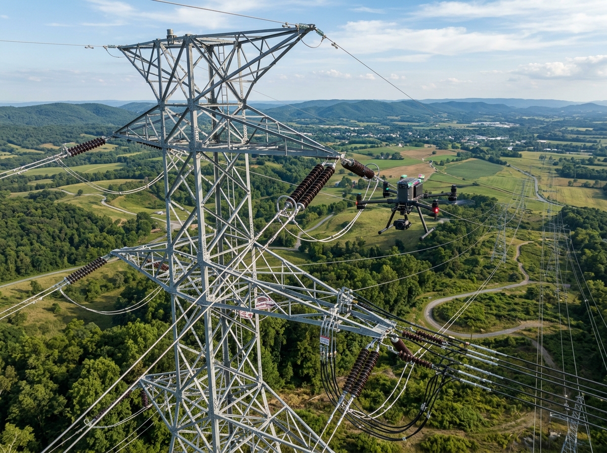
Prevent catastrophic outages and extend asset lifespans with proactive aerial audits.

Detect missing split pins, loose bolts, bent lattice members, structural rust, and bird nests on crossarms using ultra-telephoto 4K cameras from a safe stand-off distance of 20+ meters.

Scan transformers, bushings, circuit breakers, disconnect switches, and busbars for abnormal temperature rise caused by loose clamps, internal winding degradation, or oxidation.

Dense airborne laser scanning maps tree canopy encroachment along transmission corridors, calculating growth clearance margins and flagging imminent strike hazards before storms hit.

Compute conductor catenary curves and ground clearance under varying electrical current and ambient temperature conditions to ensure compliance with statutory safety regulations.

Inspect porcelain, glass, and composite polymer insulators for chipping, hairline cracks, pollution flashovers, and partial discharge tracking using specialized UV and optical sensors.

Deploy immediately following cyclones, floods, or earthquakes to locate collapsed towers, broken conductors, and inaccessible access roads, accelerating grid restoration times by days.
Rigorous safety standards combined with AI-assisted defect classification.
We import utility GIS coordinates, line voltages, and circuit configurations to program geofenced flight waypoints with automatic terrain-follow radar.
Our certified flight crew captures standardized multi-angle imagery of all 4 tower faces, phase conductors, ground wires, and jumper loops.
Proprietary machine learning models scan thousands of inspection images, instantly flagging hot connections, cracked insulators, and mechanical deformities.
A digitized asset condition database is delivered with categorized priority ratings (Emergency, Urgent, Routine) and direct links to SAP/Maximo work orders.
No human climbs required for routine visual audits. Surveyors remain safely on the ground outside dangerous electromagnetic zones.
Inspections take place while lines remain at peak capacity. Eliminate revenue loss and grid dispatch penalties from planned outages.
One drone crew inspects up to 15-20 towers per day compared to only 3-4 towers inspected by a conventional ground climbing team.
Ultra-high-definition zoom optics capture split pins and cotter keys with sub-millimeter sharpness from safe standoff distances.
LiDAR point clouds model exact clearance buffers, allowing utilities to bid targeted tree-trimming contracts and save millions annually.
All defects are exported directly formatted for enterprise management systems including SAP PM, IBM Maximo, and Oracle WAM.
A complete digital record of power transmission and substation health.
High-resolution imagery cataloged by line name, tower number, phase, and component type for immediate review.
Calibrated infrared thermograms identifying loose joints, bad crimps, and overloaded conductors with delta-T metrics.
Classified point clouds identifying vegetative strike hazards, conductor clearance violations, and access road conditions.
Spreadsheet and GIS layer listing all detected anomalies prioritized by urgency (Level 1 critical through Level 3 minor).

Yes. We operate enterprise drones equipped with dual RTK GNSS antennas, magnetic compass shielding, and triple-redundant IMUs specially engineered to resist high electromagnetic fields. In addition, our pilots use high-power optical zoom lenses, maintaining a safe standoff distance of 15 to 25 meters from energized conductors.
No! Lines must remain energized during the thermal survey to ensure electrical current flow generates the resistive heating needed to detect loose clamps, oxidized jumpers, and failing insulators. There is zero grid downtime.
Airborne LiDAR pulses penetrate through dense tree foliage to measure exact ground, vegetation, and wire elevations. By simulating conductor sway and maximum sag under 100% electrical load and ambient heat, we calculate exact clearance margins and pinpoint trees that violate statutory safety distances.
Whenever our pilots detect a severe anomaly in the field (e.g. broken insulator string, loose conductor clamp heating above 90°C), our crew issues an immediate Emergency Flash Alert to the utility control room within 2 hours of flight.
Contact our power utility inspection engineers today to schedule a pilot demonstration or discuss multi-line survey contracts.