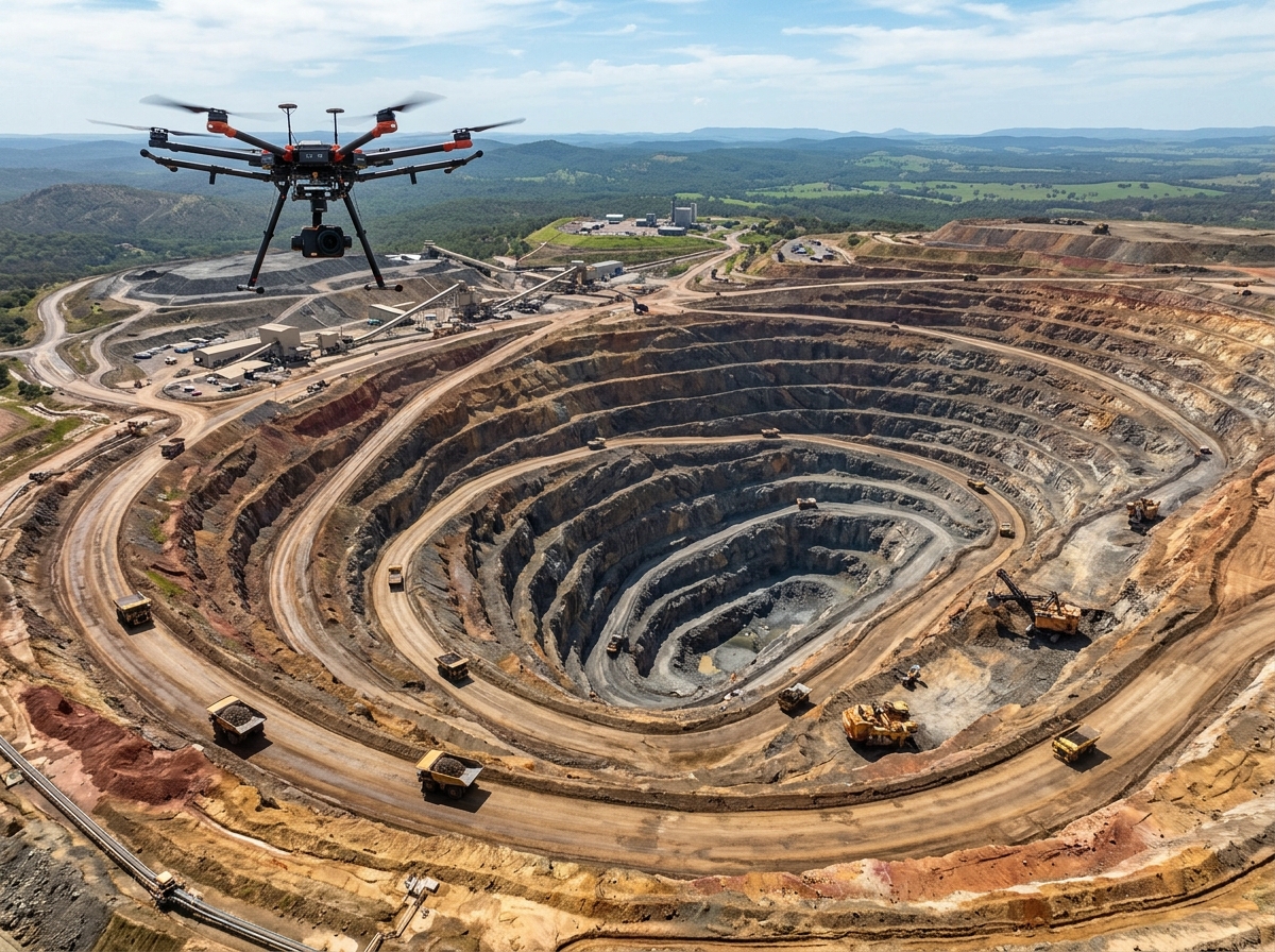
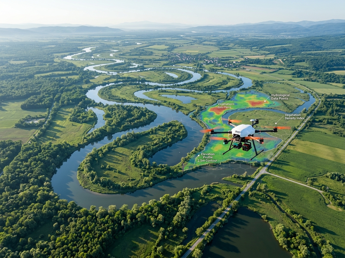
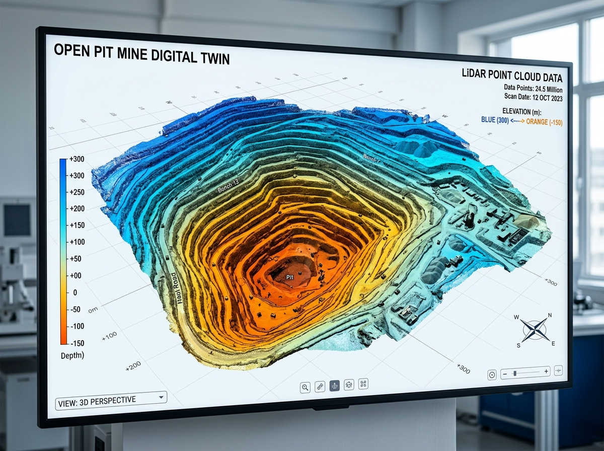
Aerial topographic drone surveying vast terrain
Geodetic Surveying & Topography

Aerial Surveying & Topographic Mapping

Attain centimetre-level elevation models, dense contour lines, and volumetric cut/fill earthwork calculations. DronexAviation deploys RTK/PPK-enabled UAVs to survey up to 1,000 hectares per day with certified horizontal and vertical accuracy.

< 2 cmRMSE Accuracy
1000+ HaDaily Flight Coverage
10xFaster Than Total Stations
0.5 mContour Interval Density
RTK / PPK Geodetic Surveying✦Topographic Contours (0.5m)✦Cut & Fill Volumetric Calculation✦Digital Terrain Models (DTM)✦Cadastral Boundary Mapping✦AutoCAD Civil 3D Surfaces✦RTK / PPK Geodetic Surveying✦Topographic Contours (0.5m)✦Cut & Fill Volumetric Calculation✦Digital Terrain Models (DTM)✦Cadastral Boundary Mapping✦AutoCAD Civil 3D Surfaces✦

Survey-Grade Topography at Unprecedented Scale

Traditional land surveying using Total Stations or GNSS rovers requires survey crews to navigate treacherous terrain, dense brush, and active construction traffic on foot. This manual process takes weeks, captures only a few isolated spot elevations every 15 to 20 meters, and introduces human interpolation error.

DronexAviation replaces sparse point surveying with continuous, surface-wide photogrammetric and LiDAR aerial surveying. Operating enterprise-grade multirotors and long-endurance hybrid VTOL drones equipped with onboard Real-Time Kinematic (RTK) and Post-Processed Kinematic (PPK) multi-frequency GNSS receivers, our drones capture millions of elevation data points in a single automated flight.

Every aerial survey is referenced against physical Ground Control Points (GCPs) established with geodetic DGPS base stations tied to Survey of India (SOI) permanent reference networks, delivering certified sub-2cm absolute accuracy across your entire project footprint.
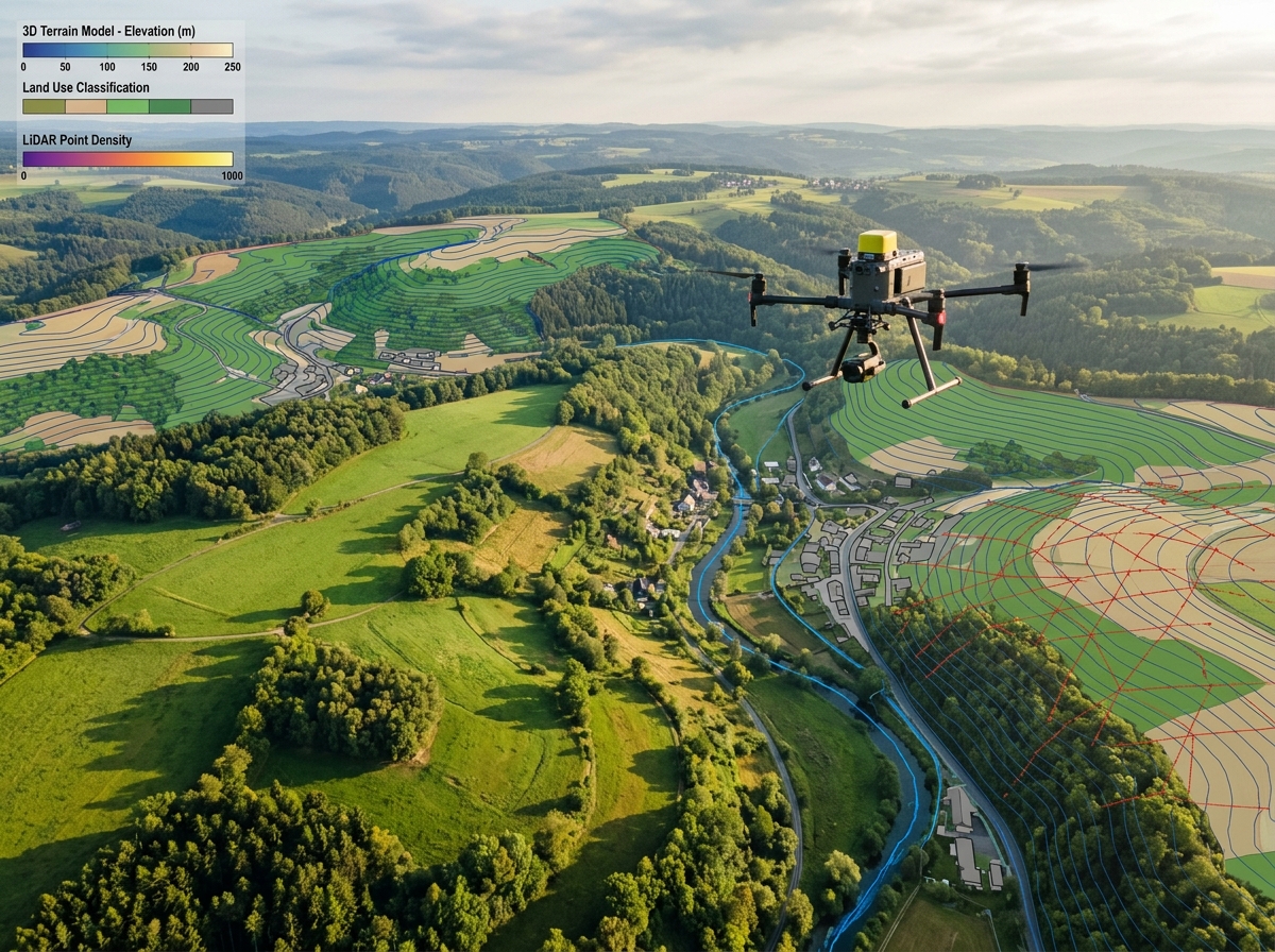
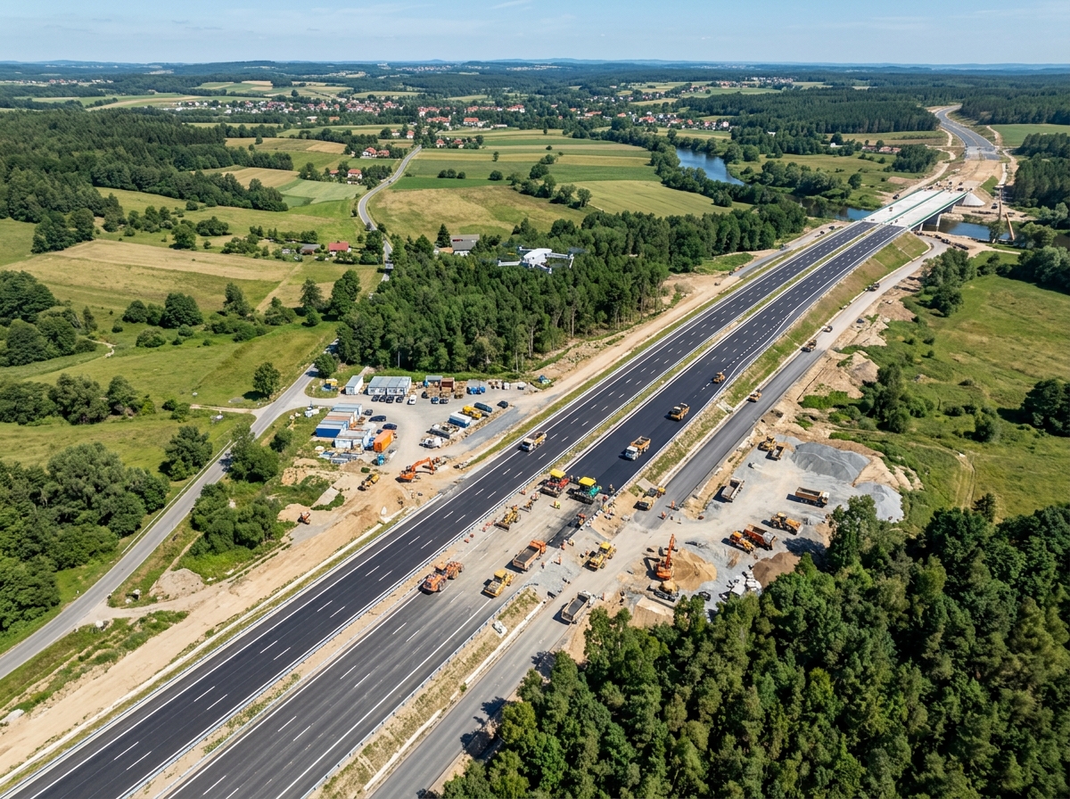
Aerial drone performing topographic surveying over complex terrain
πŸ“
Survey-Grade PrecisionHorizontal <2 cm, Vertical <3 cm

Core Aerial Survey Deliverables & Applications

Providing engineers, project directors, and GIS analysts with certified, engineering-ready data.

Topographic contour mapping
πŸ—ΊοΈ

Topographic Contours & Elevation Grids

Generate high-density elevation models with 0.25m, 0.5m, or 1.0m contour intervals. Formatted in DWG, DXF, and LandXML for direct import into AutoCAD Civil 3D, Bentley OpenRoads, and 12d Model.

Volumetric cut and fill calculations
βš–οΈ

Cut & Fill Volumetric Earthwork Audits

Compute bulk excavation and embankment volumes with Β±1.5% accuracy. Compare surveyed terrain against approved design CAD grades to audit contractor earthwork billings without payment disputes.

Bare earth Digital Terrain Models DTM
πŸ”οΈ

Bare-Earth Digital Terrain Models (DTM)

Advanced classification algorithms strip out trees, brush, and temporary site structures to deliver an uncompromised bare-earth surface model essential for hydrological drainage and civil design.

Cadastral boundary and land acquisition mapping
πŸ“

Cadastral Land Acquisition & Titling

Demarcate revenue survey numbers, village abadi boundaries, and parcel ownership lines. High-resolution orthomosaics provide undeniable visual proof of ground occupancy for land titling.

Hydrological catchment and flood modeling
🌊

Hydrological & Drainage Basin Analysis

Extract flow directions, catchment ridge lines, flow accumulation streams, and ponding depressions to size culverts, design stormwater channels, and avoid site waterlogging.

Stockpile inventory volumetric measurement
πŸ“Š

Stockpile Inventory Volumetrics

Measure raw material stockpiles (coal, aggregate, iron ore, clinker) in hours instead of days. Eliminate tape measuring hazards and produce signed volumetric certificates for audits.

Our Certified Four-Stage Survey Workflow

Adhering strictly to geodetic surveying principles and DGCA aviation compliance.

01

Geodetic Control (DGPS)

We establish calibrated Ground Control Points (GCPs) and independent Check Points (CPs) using dual-frequency DGPS rovers tied to Survey of India geodetic benchmarks.

02

Autonomous RTK/PPK Flight

Our pilots execute automated grid flights with 80% forward and 75% side image overlap, capturing timestamped raw GNSS satellite carrier phases for PPK trajectory correction.

03

Bundle Block Adjustment

Raw photos undergo rigorous photogrammetric triangulation, dense 3D point cloud generation, and point filtering in Pix4D Enterprise and CloudCompare.

04

Cartographic QA/QC & Delivery

Our senior surveyors verify checkpoint residuals (RMSE < 2cm) and export certified CAD surfaces, vector contours, and volumetric calculation reports.

The Aerial Survey Advantage

🎯

Certified <2cm Precision

Independent checkpoints verify horizontal accuracy within 1.5–2.0 cm and vertical accuracy within 2.5–3.5 cm.

< 2 cm RMSE
⚑

10x Accelerated Timeline

Surveys that take manual ground survey teams weeks are completed in a single day, eliminating site delays.

10x Speed Multiplier
πŸ’°

Up to 60% Cost Reduction

Reduce field crew logistics, per diem costs, instrument rentals, and construction downtime through automated UAV missions.

60% Cost Savings
πŸ›‘οΈ

Zero Hazard to Surveyors

No personnel entering unstable mine pits, highway traffic lanes, active blast zones, or swampy marshes.

100% Field Safety
πŸ“ˆ

Continuous 3D Surface Data

Instead of points spaced 20m apart, receive millions of surface points capturing every ditch, berm, and grade change.

Continuous Surfaces
πŸ“

Universal CAD/BIM Formats

Directly compatible with Autodesk Civil 3D, Bentley MicroStation, QGIS, ArcGIS, and all major civil engineering platforms.

AutoCAD Ready

What You Receive in an Aerial Survey Package

Every survey project is delivered with a complete quality control dossier and certified survey accuracy report.

πŸ—ΊοΈ

True Orthomosaic (GeoTIFF / ECW)

Georeferenced orthophoto map at 1.5–3.0 cm/pixel GSD, corrected for terrain distortion and camera lens curvature.

πŸ”οΈ

Digital Elevation & Terrain Models (DEM / DTM)

High-resolution bare-earth raster surfaces ready for cut/fill calculations, slope analysis, and drainage design.

πŸ“

Vector Contours (DWG / DXF / SHP)

Smooth engineering-grade contour lines at 0.25m, 0.5m, or custom elevation intervals.

βš–οΈ

Volumetric Earthwork Certificate

Certified cut/fill reports with color-coded isopach difference maps comparing design CAD models against actual ground.

Aerial drone surveying deliverables and contour maps

Frequently Asked Questions

When performed with RTK/PPK GNSS drones and calibrated Ground Control Points (GCPs), drone surveys achieve horizontal RMSE within 1.5 to 2.5 cm and vertical RMSE within 2.5 to 4.0 cm. While a Total Station may achieve slightly tighter millimeter precision on a single static rod point, it only captures a handful of points. Drones capture millions of elevation points per hectare, providing an incomparably more accurate model of continuous real-world terrain.

Real-Time Kinematic (RTK) corrects GNSS satellite positioning in real time via a radio/cellular datalink to a base station. Post-Processed Kinematic (PPK) logs raw GNSS carrier phase signals on the drone and corrects the positions after the flight using base station data. PPK is superior in remote industrial sites and mines where radio line-of-sight to the base station may drop out behind hills or deep pit walls.

We generate a high-density 3D triangulated irregular network (TIN) surface of the current surveyed terrain and overlay it mathematically onto the approved finished design surface (or a baseline pre-construction survey). By computing the prism volume differences between the two surfaces, our software yields exact excavation cut and embankment fill quantities down to the cubic meter.

We deliver in all industry-standard formats: AutoCAD DWG/DXF, LandXML surfaces, GeoTIFF, ECW, ESRI Shapefile (.shp), Bentley DGN, Google Earth KML/KMZ, and LAS/LAZ classified point clouds.

Explore Our Other Drone Services

Plan Your Next Project with Survey-Grade Drone Data

Contact our senior geodesists and flight operations team today for a tailored quote and accuracy specification.