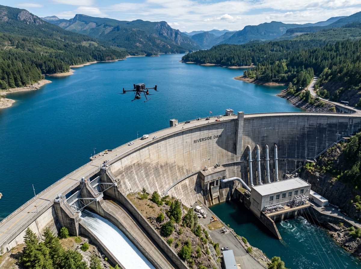
Comprehensive structural health monitoring and compliance with India's Dam Safety Act 2021. Inspect vertical spillway faces, crests, and stilling basins while tracking reservoir sedimentation with centimetre-level aerial modeling.
India is home to over 5,300 large dams, many exceeding 50 years of operational service. With the enforcement of the landmark Dam Safety Act, 2021, dam owners and state irrigation departments face strict legal mandates for pre-monsoon and post-monsoon comprehensive safety inspections and risk assessment reporting.
Inspecting towering vertical concrete faces over 100 meters high, steep spillway chutes, and remote earthen embankments via rope abseiling is hazardous, slow, and covers only a tiny percentage of the structure's surface.
DronexAviation deploys specialized terrain-following UAVs with RTK precision and radiometric thermal sensors. Flying calibrated vertical grid patterns alongside dam structures, we capture 100% of the downstream face, radial gates, spillway crests, and plunge pools without exposing personnel to heights or turbulent discharge waters.
Comprehensive geotechnical, structural, and hydrological safety assessments.

Detect concrete cavitation, scouring, hairline joint cracks, and efflorescence on high-velocity spillways and plunge pools. Vertical automated flight paths map 100% of concrete surface area with sub-millimeter detail.

Sub-surface moisture creates distinct thermal differentials on downstream slopes. Radiometric thermal cameras detect hidden internal piping, drainage gallery leaks, and earthen embankment seepage lines.

Combine exposed-bed aerial drone surveys during low-reservoir drawdown with USV sonar bathymetry to accurately calculate lost live storage capacity and siltation accumulation rates.

Millimeter-accurate periodic DTM comparisons track downstream toe settlement, bulging, animal burrow voids, and crest subsidence across massive earthen dams over time.

Inspect radial spillway gates, trunnion hubs, wire ropes, skin plates, and rubber side seals for mechanical misalignment, corrosion, and structural deformation before flood seasons.

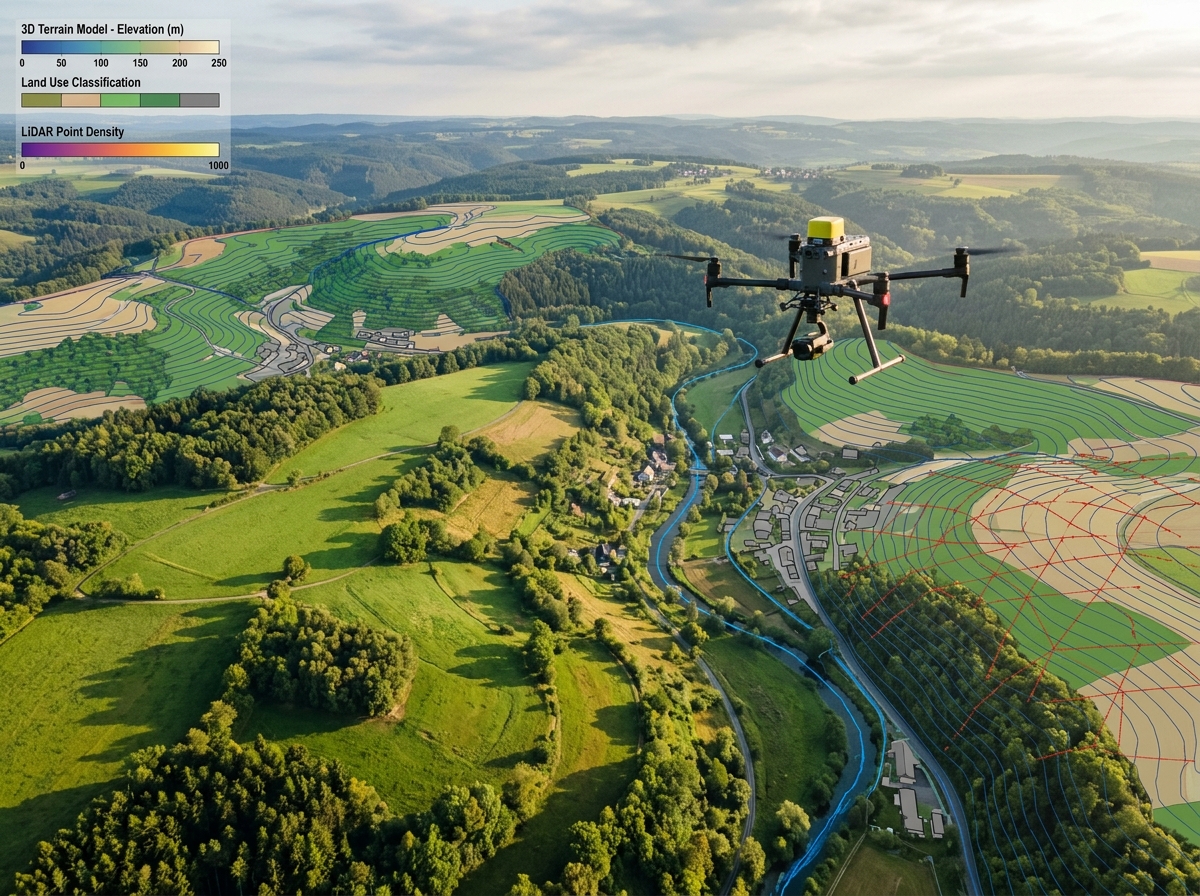
High-resolution LiDAR surveys downstream of the dam provide precise terrain elevation data for HEC-RAS 2D dam-break flood wave simulation and evacuation zoning.
Rigorous data acquisition following CWC (Central Water Commission) guidelines.
We establish permanent DGPS control monuments tied to national datum and review dam structural drawings and reservoir operational rule curves.
Autonomous UAV flights follow calculated vertical and oblique grids along downstream face, spillways, and abutments maintaining fixed standoff distance.
Imagery is processed through photogrammetric reconstruction, generating ortho-facades with automated AI crack width and spalling square-meter calculations.
Clients receive a formal Dam Safety Dossier including 3D Digital Twin, georeferenced ortho-elevation drawings, and CWC-standard inspection reports.
Meets all documentation guidelines established under India's Dam Safety Act 2021 and Central Water Commission (CWC) protocols.
Inspect 150-meter vertical concrete faces without risking lives on ropes, hanging cradles, or temporary scaffolding.
A comprehensive dam health audit that takes manual climbing teams 3 weeks is completed by our drone crew in just 2 days.
Unlike spot manual checks, drones photograph every square meter of concrete, documenting even the most remote structural crevices.
Infrared thermography identifies subsurface moisture leaks and internal piping long before wet spots emerge on the surface.
Interactive 3D model allows Chief Engineers and state panels to virtually fly across the structure during safety board meetings.
Formulated for state dam safety organizations, irrigation engineers, and hydropower operators.
High-resolution planar maps of spillway chutes, downstream faces, and training walls at 1 mm/pixel resolution.
Vector CAD overlays and photos of all cracks (length, width, direction), spalls, honeycombing, and exposed reinforcement.
Calibrated thermograms highlighting cold moisture signatures, weeping joints, and internal embankment piping routes.
Official structural health assessment signed off by registered dam safety professionals ready for state authority submission.

The Dam Safety Act 2021 mandates regular pre- and post-monsoon inspections and comprehensive safety evaluations every 5 years by qualified dam safety panels. DronexAviation produces the complete photographic, thermal, and 3D geometric evidence required by the Central Water Commission (CWC) to certify statutory safety compliance.
Yes. Water leaking through an earthen dam creates localized evaporative cooling and moisture saturation differences. By flying high-sensitivity radiometric thermal drones during pre-dawn or post-sunset cooling cycles, we pinpoint thermal anomalies caused by internal piping long before external wet spots appear.
We utilize enterprise multirotor UAVs equipped with laser rangefinder altimeters, omnidirectional millimeter-wave radar obstacle avoidance, and specialized vertical photogrammetry flight control software. The drone automatically maintains a precise, constant distance from the sloping or vertical concrete face.
Yes. We integrate high-precision drone photogrammetry and LiDAR for the exposed reservoir periphery with sonar-equipped unmanned surface vessels (USVs) for deep water bathymetry. The combined dataset produces an updated Area-Elevation-Capacity curve to determine exactly how many Million Cubic Meters (MCM) of storage has been lost to sedimentation.
Consult with our dam safety and structural inspection specialists today to prepare your statutory pre-monsoon or post-monsoon audit dossier.