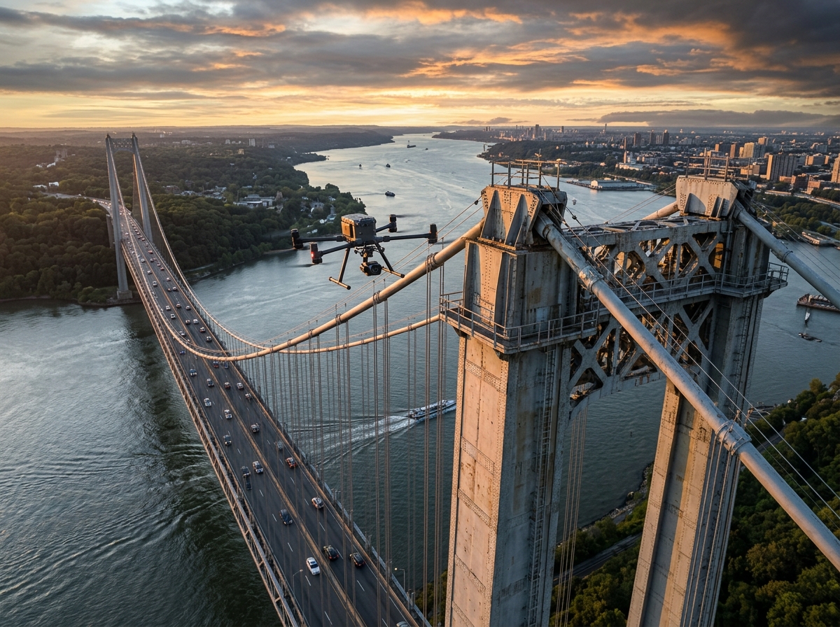
Safeguard vital transport corridors with close-proximity aerial NDT audits. Inspect under-deck soffits, deep-water piers, bearings, and suspension cables with sub-millimetre defect detection — without closing a single traffic lane.
Bridges are critical lifeline structures subjected to continuous dynamic loads, thermal stresses, and aggressive environmental weathering. Traditional inspection requires expensive boom trucks ("snooper trucks"), scaffolding, or rope-access abseiling teams — causing massive traffic gridlocks and costing millions in lane closure permits.
Even more critically, deep-water piers and confined under-deck soffits are often physically inaccessible to human inspectors. DronexAviation deploys specialized enterprise drones equipped with top-mounted upward-looking gimbals, omnidirectional LiDAR obstacle-avoidance cages, and high-intensity LED illumination arrays.
Our pilots fly safely beneath bridge decks without GPS signals, capturing crisp 45-megapixel imagery and thermal scans of concrete spalling, exposed rebar corrosion, bearing displacements, and micro-cracks down to 0.1 mm in width.
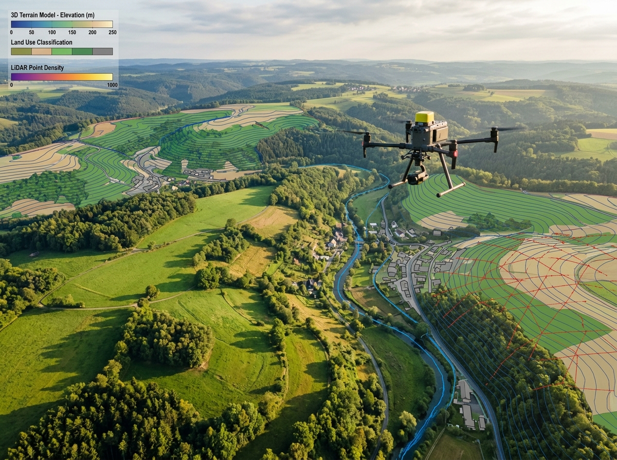
Concrete box girders, steel trusses, arch bridges, cable-stayed, and suspension spans.

Top-mounted gimbals capture perpendicular imagery of under-deck concrete soffits, pre-stressed box girders, and diaphragm walls with intense auxiliary LED lights illuminating dark voids.

Close-range scans of massive bridge piers in fast-flowing rivers. Document water-line erosion, debris accumulation, concrete cavitation, and underwater bathymetric foundation scour.

Inspect elastomeric pads, pot bearings, and rocker bearings for excessive shear deformation, bulging, bottom-plate corrosion, and debris jamming in expansion joints.

Automated vertical flight paths trace stay cables from deck to pylon saddle, inspecting HDPE protective sheaths, vibration dampers, and cable anchorages for UV cracking and corrosion.

Radiometric thermal sensors detect sub-surface air voids and rebar oxidation before concrete spalls off the structure, revealing hidden structural distress invisible to the naked eye.

Convert photogrammetric and LiDAR scans into millimeter-accurate 3D bridge digital twins. Pin every detected crack, spall, and corroded rebar onto its exact spatial coordinate on the 3D model.
Executing non-destructive testing (NDT) with maximum safety and ZERO disruption to traffic.
We review bridge drawings, water currents, traffic flow, and wind patterns, coordinating with local highway and waterway police authorities.
Pilots deploy optical flow and LiDAR vision-guided UAVs beneath the deck, systematically capturing overlapping imagery with synchronized LED spotlights.
Proprietary machine-vision algorithms measure crack widths (down to 0.1 mm), map spall square footage, and categorize corrosion grades per IRC/AASHTO codes.
Structural engineers receive a comprehensive bridge inspection report containing georeferenced defect drawings, severity ratings, and rehabilitation recommendations.
No snooper trucks occupying highway lanes. Vehicles flow uninterrupted while the drone inspects from river and airspace buffers.
Slash rental costs for heavy snooper trucks, traffic police escorts, and scaffolding while doubling inspection speed.
Eliminate dangerous rope-access abseiling, precarious scaffolding over deep rivers, and high-altitude climbs.
Ultra-macro optical sensors capture hairline shear cracks down to 0.1 mm, enabling early repair before catastrophic structural failure.
Easily inspect piers situated in dangerous rapids, high-speed rail viaducts, and narrow cavernous box girders.
Digital twins store crack dimensions year-over-year to quantify widening rates under cyclic traffic loading.
Engineered for bridge authorities, concessionaires, and structural design consultants.
High-resolution photos cataloged by span number, pier ID, girder code, and component face with exact dimensions.
Interactive 3D mesh viewer where engineers click on any pier or beam to inspect high-res orthophotos and crack annotations.
Formal engineering audit report with condition indices, defect priority matrices, and urgent remedial intervention notices.
Infrared maps highlighting concealed sub-surface debonding and moisture intrusion beneath bridge decks.

We operate specialized GPS-denied inspection drones equipped with downward and forward visual-inertial odometry (VIO), high-frequency LiDAR SLAM (Simultaneous Localization and Mapping), and protective carbon-fiber collision cages. The drone maintains rock-solid position hold and stability entirely without GPS satellite lock.
Yes. By flying within 1.5 to 2.5 meters of the concrete surface with our 45 MP high-resolution sensors and synchronized LED spotlights, we achieve a Ground Sampling Distance (GSD) of less than 0.3 mm per pixel. Our AI crack-detection software accurately traces and quantifies crack widths starting from 0.1 mm.
No! That is the single largest operational advantage of drone inspections over snooper trucks. Our ground control station is situated on the riverbank, shore, or bridge abutment. Vehicles continue crossing the bridge at regular speeds with zero lane closures or permits needed.
Yes. All raw and processed inspection data packages are reviewed and signed off by certified Chartered Structural Engineers familiar with Indian Road Congress (IRC:SP:35, IRC:SP:40) and AASHTO bridge inspection standards.
Contact our structural drone inspection specialists today to arrange a demonstration or discuss your bridge inspection portfolio.