DronexAviation Pvt. Ltd. delivers precision aerial intelligence across Mining, Solar, GIS, Infrastructure, Surveillance and more — powering smarter decisions through drone technology.
DronexAviation Private Limited is a leading drone services company headquartered in India. We harness the power of Unmanned Aerial Vehicles (UAVs) to deliver precise, data-rich insights across more than 12 critical industries.
From the depths of open-pit mines to the heights of power-transmission towers, our certified drone pilots and data scientists transform raw aerial data into actionable business intelligence — safely, swiftly, and at scale.
End-to-end aerial solutions powered by cutting-edge UAV technology and expert data processing.
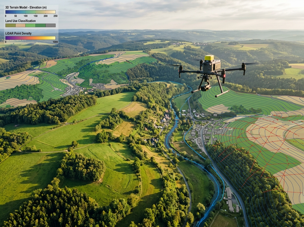
High-resolution topographic surveys with centimetre-level accuracy using RTK/PPK drones and LiDAR payloads.
Generate photorealistic 3D models, orthomosaics, and digital elevation models from overlapping aerial imagery.
FLIR-equipped drones detect heat signatures, faulty electrical components, and structural anomalies invisible to the naked eye.
Airborne laser scanning for dense point clouds, vegetation penetration, and precise terrain modelling under canopy.
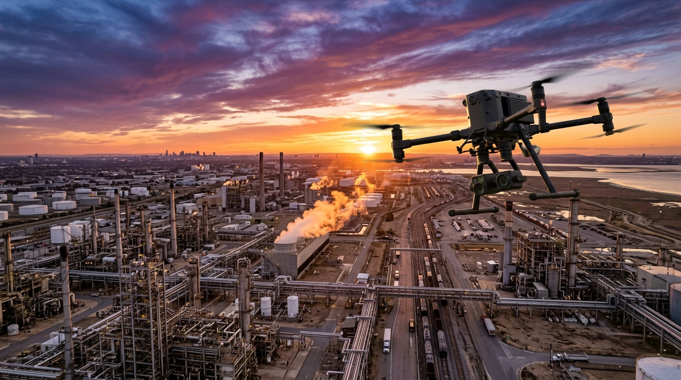
Close-range visual and NDT-based inspections of bridges, dams, towers, and industrial assets — safely and efficiently.
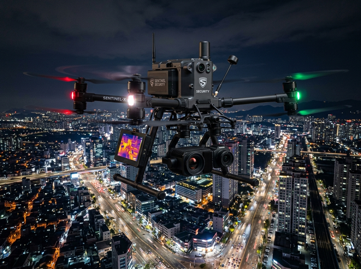
24/7 perimeter monitoring, crowd management, and event security using long-endurance drones with zoom cameras.
No terrain is too remote. No structure too complex. We deploy precision drone technology wherever insight is needed.
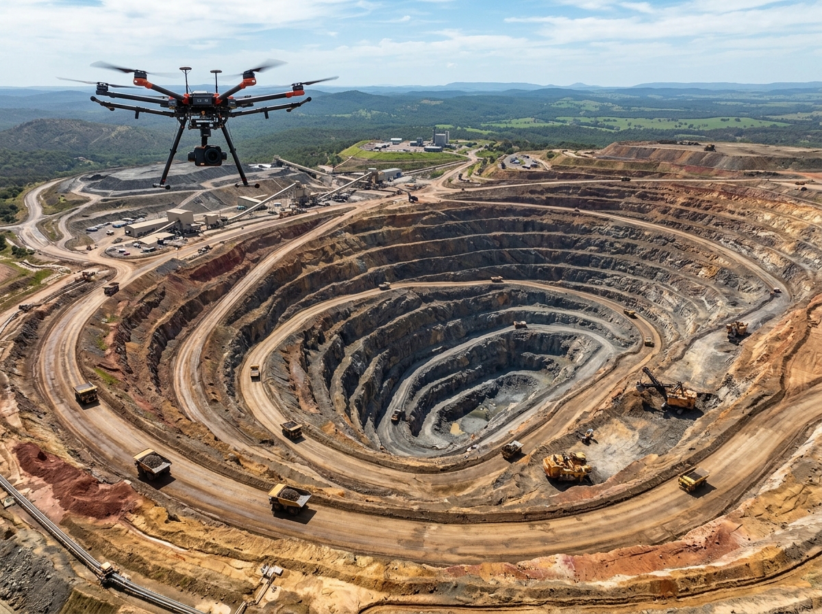
Volumetric surveys, stockpile measurement, blast monitoring, and pit wall slope analysis for safer and more efficient mining operations.
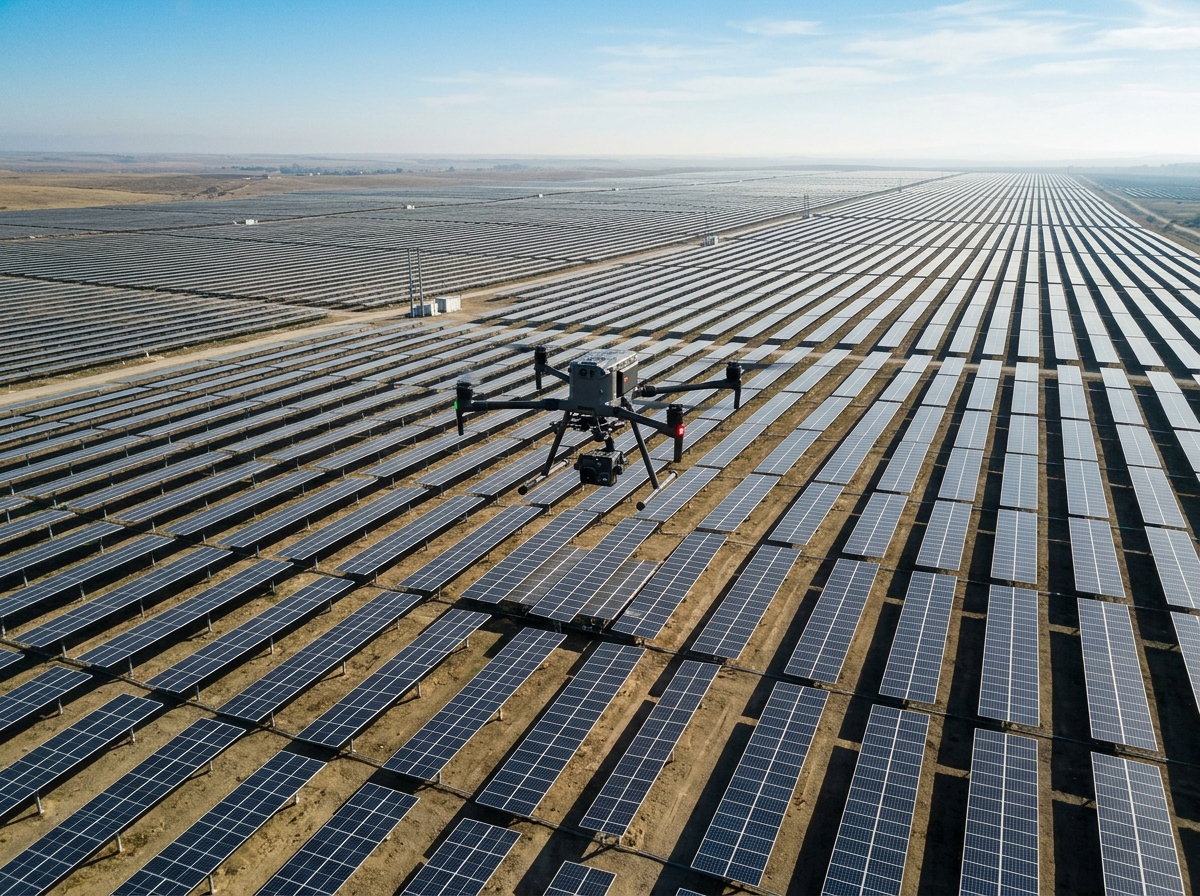
Electroluminescence (EL) & radiometric thermal drone inspection of PV modules to pinpoint microcracks, cell fractures, and diode failures.
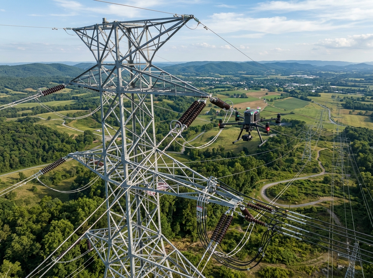
Transmission line inspection, tower condition assessment, and right-of-way surveys — eliminating the need for costly manual climbs.
High-accuracy cadastral surveys, land-use mapping, and geospatial data collection powering urban planning and resource management.
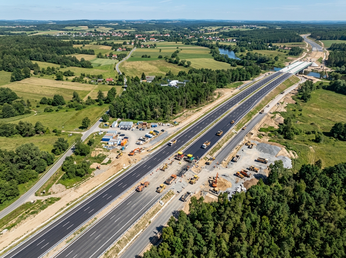
Pavement condition surveys, alignment mapping, construction progress monitoring, and traffic analysis for road infrastructure projects.
Detailed structural inspection of decks, piers, abutments, and cables — capturing millimetre-level defects without lane closures.
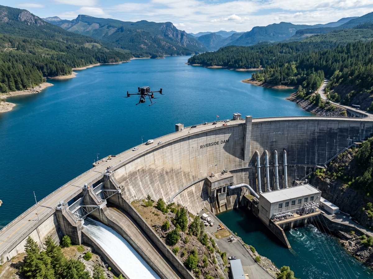
Periodic condition surveys, seepage detection, sedimentation mapping, and emergency response support for dams and water bodies.
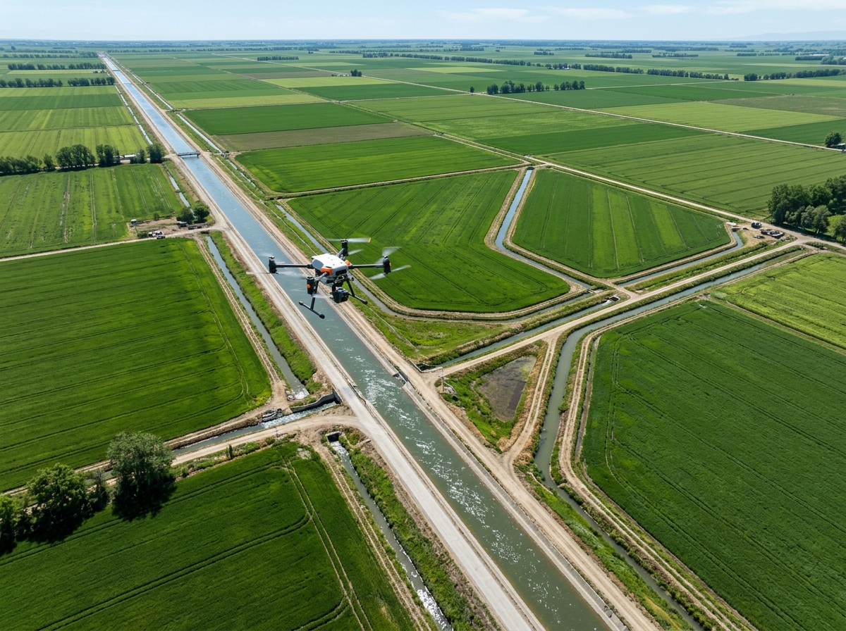
Canal condition surveys, breach detection, water-flow modelling, and command-area mapping to optimise irrigation networks.
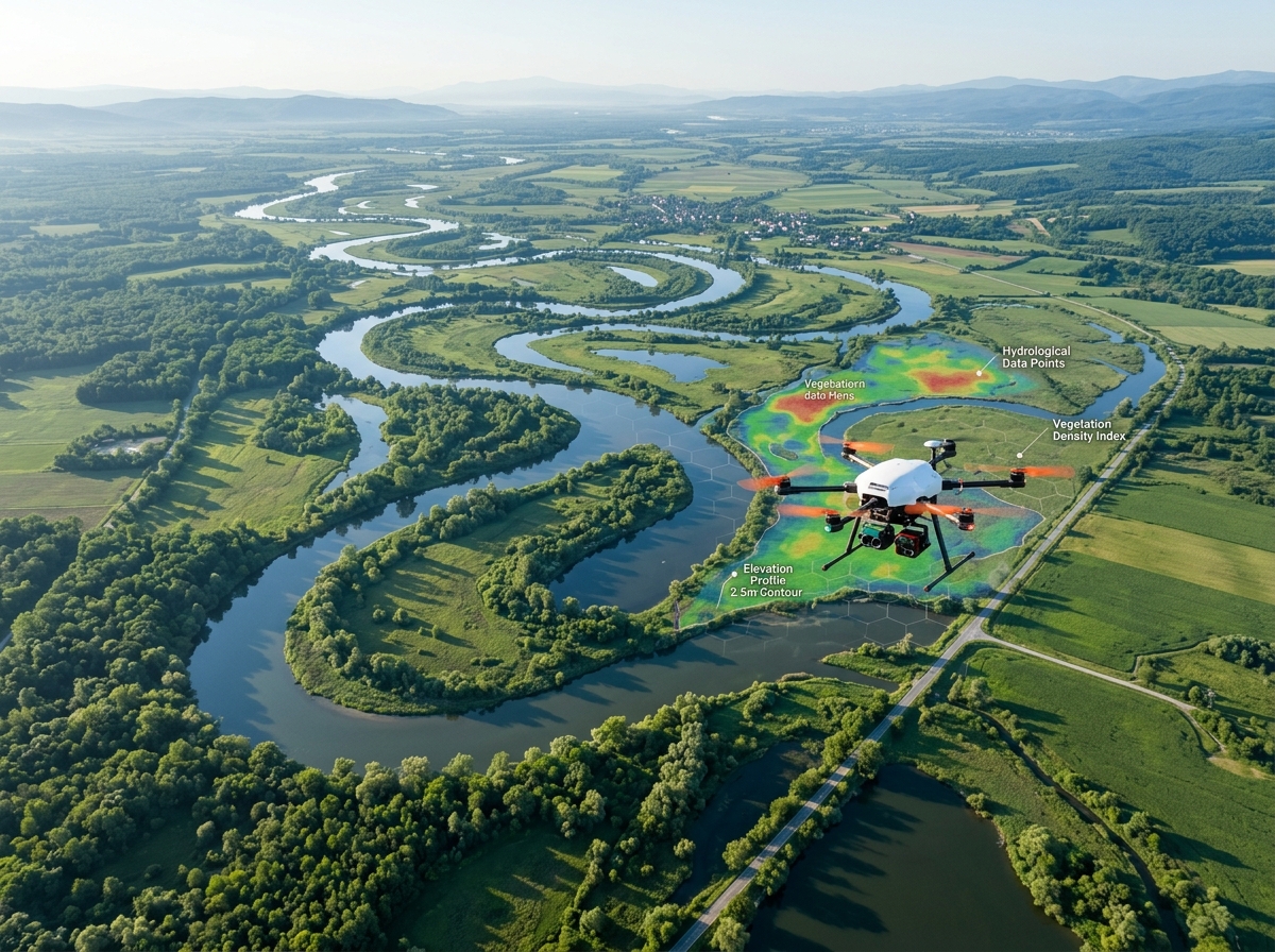
Flood plain mapping, river bank erosion monitoring, sedimentation analysis, and environmental impact assessments.
Real-time aerial surveillance for border monitoring, critical asset protection, crowd control, and disaster response.
Agriculture, Forest Management, Oil & Gas, Construction, Railways, Coastal Monitoring, Urban Planning...
Enquire NowRTK GPS and ground control points ensure survey-grade accuracy across all deliverables — no compromise.
10x faster than conventional ground surveys. Final processed data delivered within 24-48 hours of flight.
DGCA-approved operations with comprehensive risk assessments, no-fly zone compliance, and full insurance coverage.
Reduce survey costs by up to 60% versus traditional methods while dramatically improving data quality and coverage.
Orthomosaics, DEMs, 3D models, CAD files, GIS layers — all processed through our proprietary analytics platform.
Dedicated project managers, 24/7 technical support, and post-delivery consultation for every engagement.
We operate a fleet of enterprise-grade drones equipped with the latest sensors and data-processing capabilities.
DJI Matrice 300/350 RTK, M30T series for close-range inspection with high maneuverability in confined spaces.
Long-range fixed-wing platforms covering 500+ hectares per flight for large-area mapping missions.
Vertical take-off with fixed-wing efficiency — ideal for corridor surveys and remote area operations.
Octocopter platforms capable of carrying LiDAR, SAR, and multi-sensor payloads up to 12 kg.
Survey-grade GNSS receivers providing 2 cm horizontal and 3 cm vertical accuracy without GCPs.
FLIR Zenmuse XT2 radiometric thermal cameras for accurate temperature measurement and anomaly detection.
Velodyne and Livox LiDAR units generating 600,000+ points/second for ultra-dense terrain modelling.
5-band multispectral sensors for vegetation analysis, NDVI mapping, and environmental monitoring.
Industry-leading photogrammetry software for generating orthomosaics, DEMs, and 3D point clouds.
Enterprise GIS platforms for spatial analysis, layer management, and professional cartographic outputs.
Engineering-grade CAD deliverables compatible with all major design and project management platforms.
Proprietary machine-learning models trained to auto-detect cracks, corrosion, and anomalies in imagery.
Fully licensed drone operations under DGCA regulations for all airspace categories.
Quality Management System certification ensuring consistent, auditable processes across all projects.
End-to-end encrypted data handling, secure cloud storage, and strict client confidentiality protocols.
Comprehensive aviation liability insurance covering all drone operations and data deliverables.
A glimpse into our portfolio of real-world drone deployments across industries.


"DronexAviation's mining survey reduced our volumetric calculation time from 3 days to just 4 hours. The accuracy was verified against our ground survey — spot on!"
"Their thermal drone inspection identified 47 faulty solar panels across our 50 MW plant that our ground team had completely missed. Outstanding ROI."
"The bridge inspection report they delivered was incredibly detailed. Finding micro-cracks early saved us enormous repair costs and averted potential safety incidents."
"DronexAviation delivered our GIS deliverables with centimetre accuracy and in half the time quoted by competitors. We've made them our exclusive survey partner."
Tell us about your project and we'll get back to you within 24 hours with a tailored proposal.